It’s been a bumpy start, but Canadians Simon Carrier and Maxime Geoffroy have set off to kayak the Northwest Passage.
The pair planned a roughly 3,000km kayak journey from Tuktoyaktuk to Pond Inlet but needed to complete an equally long road trip from Edmonton before starting. The car journey went smoothly until on July 5, with a fair distance remaining, they found the Mackenzie River ferry out of order.
It was unclear when the boat might be repaired. This left them with three options. They could wait indefinitely for the ferry, begin their adventure by kayak from the ferry terminal (adding a disheartening 300km of kayaking to their already formidable distance), or kayak across the river to the ferry drop-off point and hope for another lift from there.
They eventually opted for the latter and were fortunate to find someone waiting to cross the other way by car. With the ferry non-operational, the driver had time to kill and gave them a lift to Eskimo Lake, nearer the mouth of the Mackenzie River and closer to their starting point at Tuktoyaktuk.

The pair’s route so far. Photo: Simon Carrier/ Maxime Geoffroy
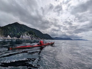
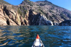
Finally on the water
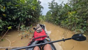
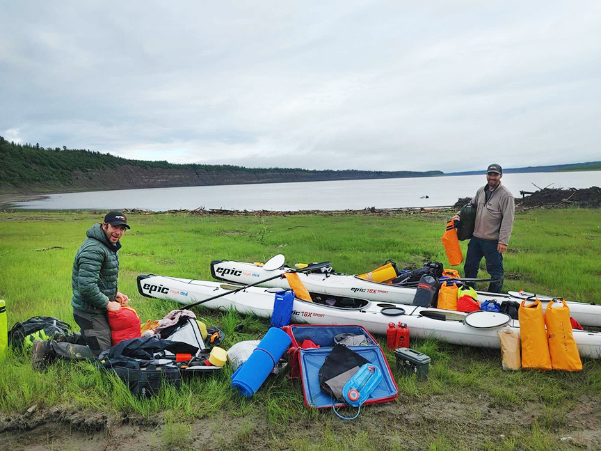
After spending a night on the shores of Eskimo Lake, they finally began paddling on July 7. They are carrying 40 days of food and will pick up more supplies in Cambridge Bay (about halfway through their journey).
Some summers, sea ice still blocks the Northwest Passage. In 2018, for example, no vessel made it through. Even large ships had to turn back. In other years, the Passage has been wide open. Last year, West Hansen, Jeff Wueste, Eileen Visser, and Mark Agnew became the first to paddle the entire Passage in a single season.
Hansen’s team paddled the opposite way, heading east to west. It will be interesting to see how Carrier and Geoffroy find conditions in the Passage.
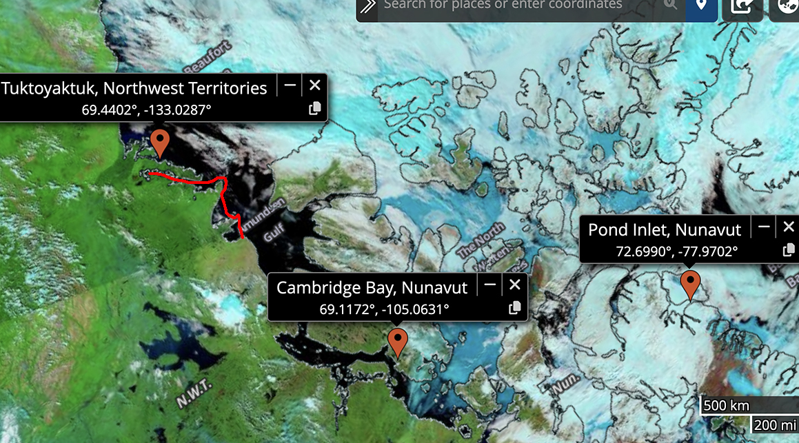
Current ice conditions in the Northwest Passage. As usual, the ice breaks up in the western Arctic much earlier than it does in the east. Black areas signify open water, while blue areas indicate some sea ice. Apart from wind and waves, they have straightforward paddling until at least Cambridge Bay. By then, ice conditions in the east will have improved.
Speaking to Radio Canada, they reported no problems as they set off.
“Currently, the melting of the ice is going well, but sometimes with the winds and everything, [the ice] moves onto the edge of the coasts…but there are many tools that we can use to see how the ice moves, so we are well equipped [to handle that],” they said.
The duo anticipates the full journey will take 80 days. You can follow their GPS updates here.