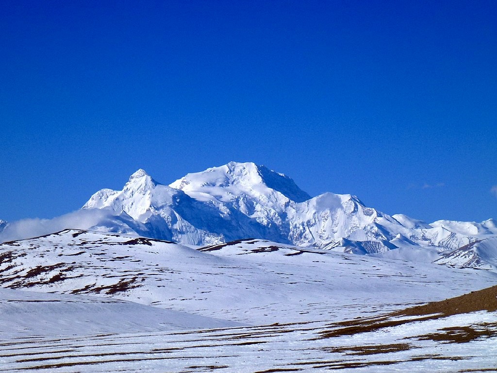
Shisha Pangma, also known as Gosainthan and Xixabangma Feng, is the 14th-highest peak in the world. The Sanskrit name Gosainthan means “holy place,” while the name Xixabangma can be translated as “the mountain overlooking the grassy plains.” Here, we take a short look at its climbing history and its main climbing routes.
Only 8,000’er entirely in Tibet
Shisha Pangma is located in the south-central area of Tibet, the only 8,000m peak located entirely in Chinese territory. It’s also the highest mountain of the Jugal Himal range, commonly considered an extension of the Langtang Himal massif. The Jugal/Langtang Himal straddles the border between Tibet and Nepal.
Tibet’s average altitude is around 4,500m, and Shisha Pangma has a prominence of 2,899m, according to 8,000ers.com. Although most climbers ascend from the easier and safer north, Shisha Pangma has an imposingly steep and craggy southern face rising over 2,000m.
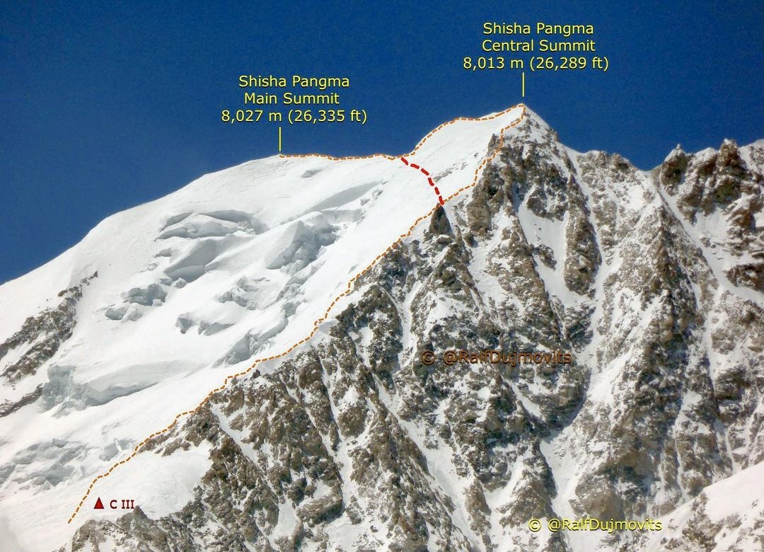
The main and central summits of Shisha Pangma with the normal route variations. You can follow the ridge along the central summit or short-cut through the final ramp. Photo: Ralf Dujmovits
Main summit and central summit
Shisha Pangma’s summit is at 8,027m, but it also has a lower false summit. The central summit is at 8,013m, separated by a 250m knife-edged ridge.
Until recently, many climbers reached the central summit rather than the true high point. Shisha Pangma was the last 8,000m to be climbed (1964), 14 years after the first ascent of an 8,000’er, on Annapurna I.
Before the first ascent
In the book The Alpine-Style First Ascent of the South-West Face of Shisha Pangma, Doug Scott and Alex Macintyre produced an excellent summary of early mountaineering activities on Shisha Pangma. Though only summited in 1964, several reconnaissance expeditions checked out the peak much earlier.
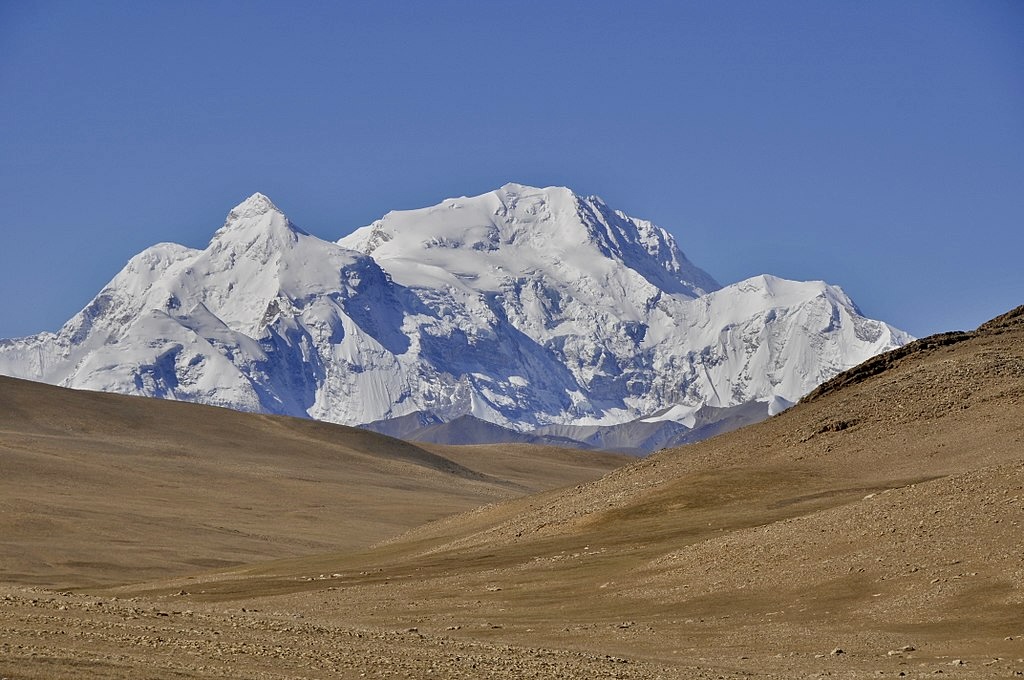
Shisha Pangma. Photo: Manuel Velazquez
In 1921, H.T. Moorshead and A.F.R. Wollaston sighted Shisha Pangma during their 1921 Everest Reconnaissance Expedition.
In 1945, Heinrich Harrer scouted the peak from the northwest, from the Charkyu Pass at about 4,880m.
In 1950, Austrian mountaineer and cartographer Peter Aufschnaiter sighted Shisha Pangma from the east at Kong Tso Lake.
The first official Chinese reconnaissance of Shisha Pangma took place in the spring of 1961. The Chinese made a preliminary investigation of the mountain and observed the peak from all sides. They went back in the autumn of the same year, examining the topography. During that second expedition, they concluded that the best approach to Shisha Pangma was via the Yabukangala Glacier.
In 1963, another Chinese expedition made it to 7,160m via the Yabukangala Glacier on the north side.
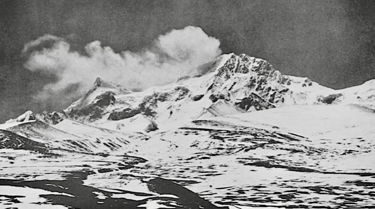
Shisha Pangma from the northern approach in 1964. Photo: Chou Cheng/Alpine Journal
The first ascent
In the spring of 1964, a 200-strong Chinese-Tibetan team of mountaineers, scientists, and support personnel arrived, led by Hsu Ching. On March 18, the expedition established a base camp north of the peak, at around 5,000m.
According to the American Alpine Journal, between 5,300m and 6,705m, the party followed the 13km Yabukangala Glacier. They went north to south to the head of the glacier before traversing a corridor east across the upper north ridge of Shisha Pangma. The ridge descends from near the summit.
From there, the Chinese party proceeded on snow and ice slopes. On May 2, 10 climbers (four Tibetans and six Chinese) reached the summit. The summiters were Chun-Yen Chang, San Chen, Tien-Liang Cheng, Doji, Ching Hsu, Migmar Trashi, Sodnam Doji, Fu-Zhou Wang, Tsung-Yue Wu, and Yonten.
Their northern route went via the peak’s northeast face, becoming the “Chinese Traverse.”
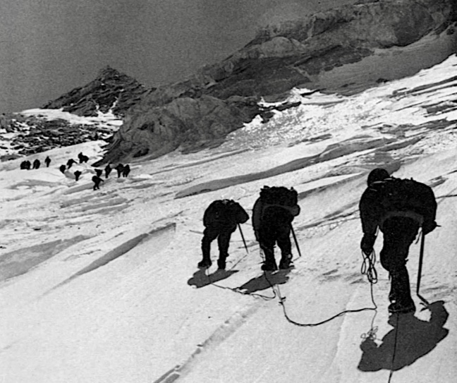
Members of the 1964 Chinese expedition on the way to Camp 5 at 7,500m. Photo: Alpine Journal
In May 1980, a six-person German expedition carried out the second ascent of the peak, via the same route.
In October 1980, two Austrian climbers topped out on a variation route from the north, via the northeast face-central traverse to the east ridge line.
There are some more variation routes from the north of the peak. For example, the northeast face-upper traverse to the west ridge, the north ridge-central peak-west ridge route, the central couloir of the north face-central peak route, and the northeast face-lower traverse-east ridge route.
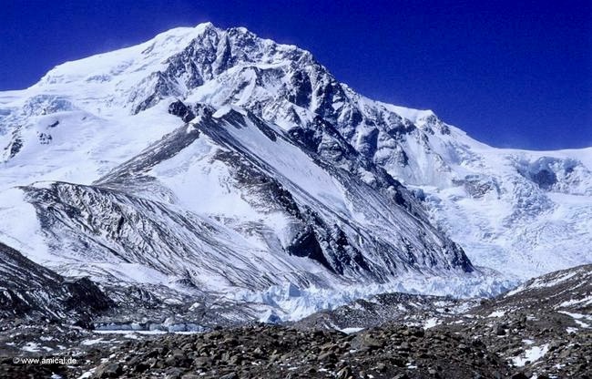
Shisha Pangma from the north. Photo: 8000ers.com
The first ascent from the south
By the end of 1981, five parties had ascended Shisha Pangma, all of them from the north.
On May 28, 1982, British climbers Roger Baxter-Jones, Alex MacIntyre, and Doug Scott made the sixth ascent. It was the first ascent in alpine style and the first climb via the southwest face.
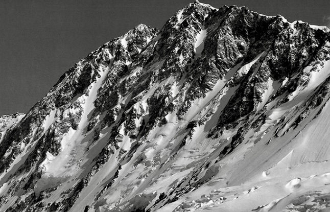
The southwest face of Shisha Pangma from above the Nyang Phu Glacier. Photo: Doug Scott
They climbed the face from the Nyang Phu Glacier, taking three days to summit. Their new route was the southwest face-central couloir route. They descended the southeast ridge to around 7,315m, where they bivouacked. The next day, they continued down the southwest face to a camp by the glacier where Nick Prescott was waiting in support.
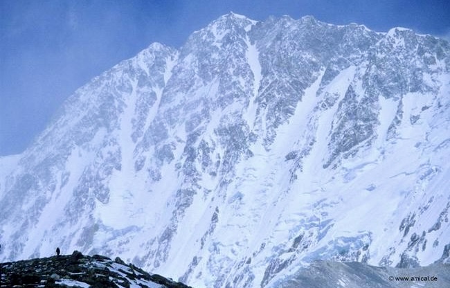
Shisha Pangma from the south. Photo: 8000ers.com
There are other routes on Shisha Pangma from the south. These include the right part of the southwest face-southeast ridge route, the southwest face-right hand couloir route, the southwest face-west central buttress route, and the southwest face-girone corridor-right hand couloir route.
Now, Shisha Pangma is mostly climbed from the northwest and the northeast. When climbers ascend from the northwest, one option is to go through the central summit. However, as we saw last year, some teams want to reach the summit ridge by traversing the flank instead of crossing the central summit.
Despite famously being one of the “easiest” 8,000m peaks, it is not that easy. Avalanches, changing weather, harsh wind, and tricky snow conditions make it difficult. Last autumn, four climbers died on the mountain.
This autumn, China announced strict rules for Shisha Pangma and for Cho Oyu from the Tibetan side. No solo climbers are allowed and the use of supplemental oxygen is mandatory above 7,000m.
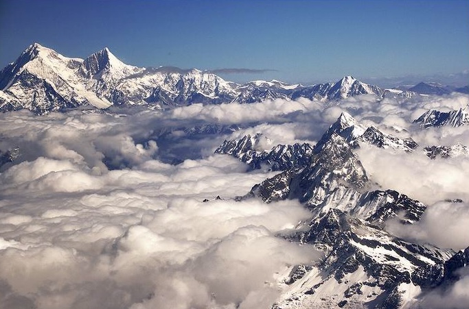
Shisha Pangma on the left. Photo: Swinelin
