BY WILL BRENDZA
The LIDAR Data mapping Colorado’s Park, Custer, and Fremont Counties was published in 2020, and it raised questions for Eric Gilbertson. The mountaineer and mechanical engineer likes to conduct ground surveys on peaks in his spare time, and his friend Ben Loftin pointed out how close Crestone and East Crestone Peaks’ elevations looked on the LIDAR data. They were damn near identical on the map.
Gilbertson couldn’t get that out of his head.
“LIDAR data can have errors,” Gilbertson told our sister site, GearJunkie. “So, if you see a summit elevation [which is derived] from LIDAR, it could be plus or minus a couple of feet.”
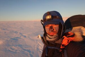
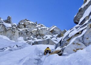
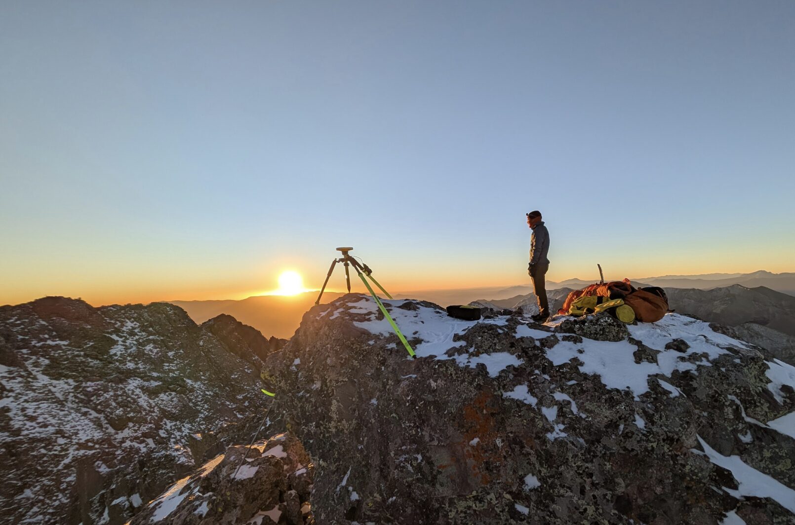
So, in October 2025, he and two other scientists set out to determine the precise elevation of both peaks. It was a challenging undertaking — not just because Crestone is one of Colorado’s most notoriously difficult and dangerous 14,000’ers, but also because they’d have to climb it carrying heavy survey equipment. Then, once at the top, they’d need to let the Trimble DA2 dGNSS receivers log data for at least two hours. But the effort paid off.
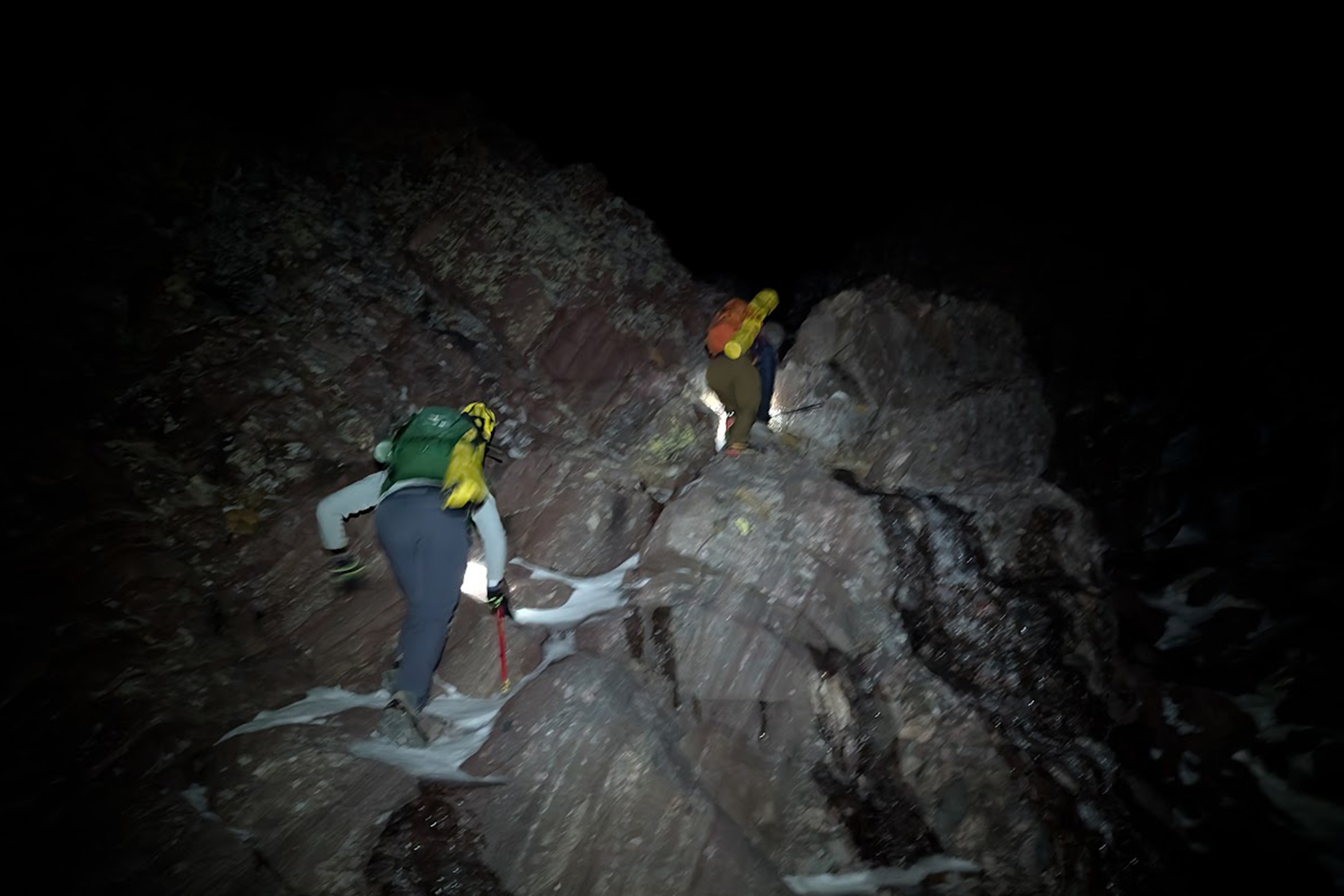
Photo: Eric Gilbertson
On October 5, Gilbertson confirmed for the first time that East Crestone Peak is actually 3.6 inches taller than Crestone. And because they’re connected by a ridge that barely dips 50 feet, “this means East Crestone is, in fact, a ranked 14’er and Crestone is a sub-peak,” Gilbertson said.
That might not seem like a big change to some. But for the thousands of hikers and climbers who obsess over Colorado’s 14,000+ foot peaks, it’s big news. According to Gilbertson’s findings, the Centennial State just lost one 14’er and gained a new one.
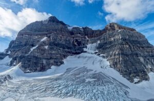
The 3.6-inch difference: East Crestone vs. Crestone
Gilbertson is an associate teaching professor of mechanical and civil engineering at Seattle University. He’s summited K2 without oxygen and has bagged all of the Centennial 14’ers (Crestone Peak, included). Two years ago, he became just the third American to receive the Snow Leopard Award for summiting all five 7,000m peaks in the former Soviet Union.
Last year, he surveyed Mount Rainier and proved that the summit had moved over 150 meters from the summit point recognized by the U.S. Geological Survey (USGS). A graduate of MIT, he’s a no-nonsense kind of person who approaches problems very methodically. He applied that meticulousness to the Crestone survey.
“I did this as rigorously as possible,” he said.
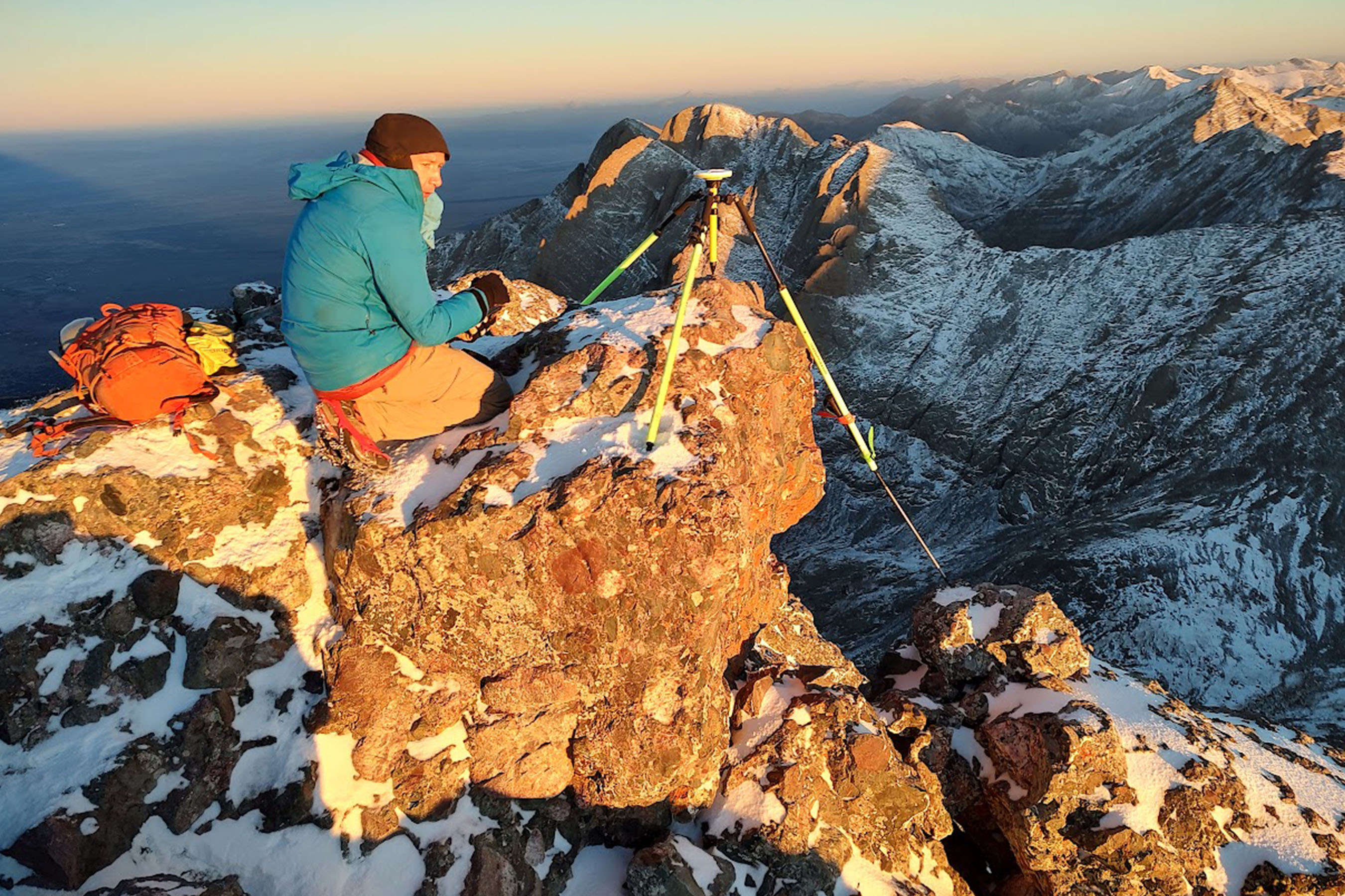
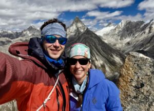
Photo: Elijah Gendron

Photo: Eric Gilbertson
A long day
Making it ‘official’

Photo: Eric Gilbertson
This story first appeared in GearJunkie.