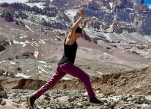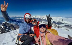
This was not a typical Christmas holiday in Colombia: At 5,000m above the Caribbean, a group of local guides and a client completed a traverse of the four main points of the little-known Sierra Nevada de Santa Marta.
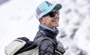
The climb took place between December 21, 2025, and January 3, 2026. Teo Munoz and Jenny Contreras made one rope team, while Edwin Ruiz guided Diana Arias on the second rope.
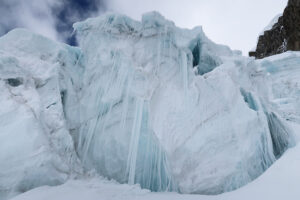
The team climbed Peak Simmonds (5,594m) on December 28 and then continued toward Peak Simon Bolivar (5,650m) by descending to a glacier, where they stopped for the night at 5,300m.
The following morning, they camped on the col separating peaks Bolivar and Colon. They climbed Bolivar, then went further south to the top of Peak Santander (5,572m). Finally, they retreated to their camp on the col. On the third day, the team summited Peak Colon, completing the traverse. They then descended.
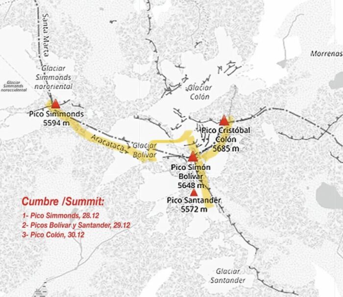
The traverse route on a map of the Santa Marta range. (Altitudes are not exact.) Topo by Edwin Ruiz
“This route offers a highly aesthetic connection between the main summits of the Santa Marta range, [but] requires previous experience in high mountain terrain and skills on snow and ice,” guide Edwin Ruiz wrote.
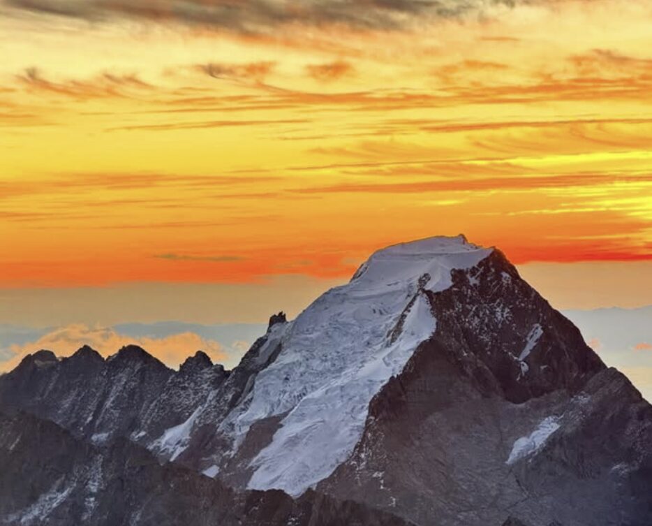
The Santa Marta range is one of the most peculiar on the planet. Here, 5,000m peaks rise just 50km from the tropical Caribbean.
Counting on locals
Said team member Teo Munoz: “Utterly grateful to the Arhuaco brothers and sisters who made this possible.”
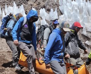
Munoz is referring to the local communities inhabiting the lower sections of the range. They are why the Colombian government restricts access. The Arhuaco community considers the range its home and refers to it as El Corazón del Mundo (“The Heart of the World”). Climbers can only come with local guides who have reached previous agreements with them.
The community collaborates with these local companies and obtains a small benefit while keeping its traditional way of life.
From bottom to top
The Sierra Nevada of Santa Marta is the highest coastal range in the world. It lies in a Biosphere Reserve containing several ecosystems, including deep valleys, rainforests, high pastures, and glacial terrain.
Peaks Simon Bolivar and Cristobal Colon are the highest points in Colombia, although their exact altitudes vary by source. A survey carried out in 1939 estimated that Colon was 5,775m and Bolivar 5,773m, but the snow covering the highest peaks has decreased since then, causing uncertainty.
According to Eric Gilbertson of Seattle, who has spent the last 30 years trying to summit the highest peak in every country in the world, “the highest visible rock on each peak is two to three meters below the summits, so if the melt rate continues, it appears Bolivar will remain the country’s high point.” Still, the difference is just a couple of meters.
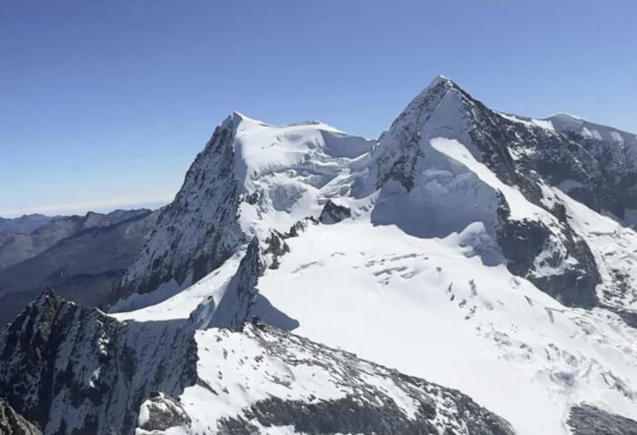
Peaks Colon, left, and Simon Bolivar. Photo: Edwin Ruiz
In addition to restrictions to protect the local communities and land, the area was unsafe for decades due to narcos and guerrillas. Now, the local outfitters are offering safe trips for small groups of foreigners, in coordination with the indigenous communities. The climbing season runs from December to March.