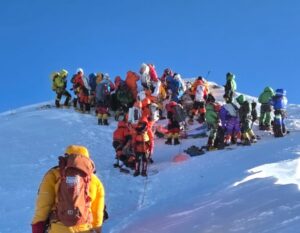
The early Everest expeditions had a hard time. As they froze in inadequate clothing, went hungry on indigestible pemmican diets, and bet their lives on frail hemp ropes, perhaps they might have taken some solace in knowing that, in 1924, they had 0.2 meters less high to climb than their successors a century later.
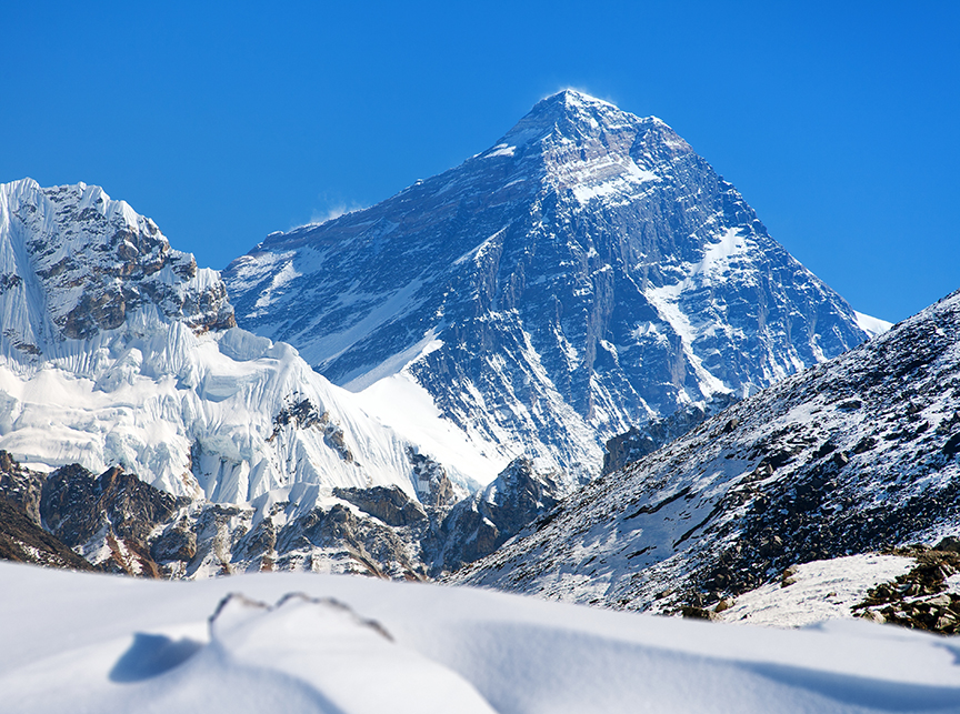
That might be barely a step for a climber, but in geological terms, it’s quite impressive. In general, rock moves slowly. Still, the rapid growth of the Himalaya isn’t a surprise to scientists since the tectonic plate carrying the Indian subcontinent is still slamming into the Eurasian plate. This process started about 40 million years ago, buckling the crust in between and forcing it toward the sky in broken spires of rock and ice. So why all the Everest press?
Two reasons: first, it’s Everest; second, because a paper published yesterday in Nature Geoscience argued that a flood 89,000 years ago might be responsible for pushing Everest even higher than some of its Himalayan cousins.
Drainage piracy
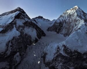
In geology, the process of one river stealing water from another is called drainage piracy. That’s what researchers from the China University of Geosciences and University College London think happened in the region around Everest. Drainage piracy might explain the strange course of the Arun River, which cuts like a scalpel through the hills and valleys beneath Everest.
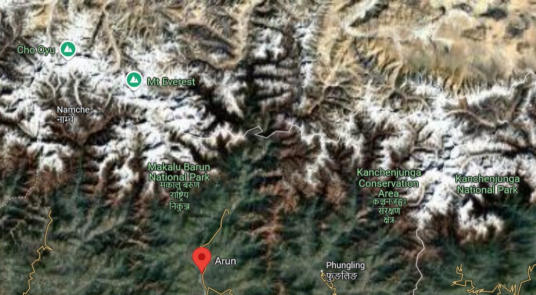
The Arun River flows to the south of Everest in Nepal. Photo: Google Maps
Its circuitous course prompted the team to run computer simulations of a hypothesized past merger event. They theorized that the Kosi River system, which comprises most of the rivers in the region, flooded the Tibetan Plateau and forced the Arun River into its current path.
Floating mountains
Water erodes rock and carries it off elsewhere, carving deep channels into the land such as the ones sandwiching the Arun like a vise. Counterintuitively, erosion actually lifts the bits of rock nearby that aren’t eroded. Since so much rock is swept downriver, the crust is lighter and floats higher on the mantle beneath it.
Geologists call this process isostatic rebound. Drainage piracy can cause it, but the most dramatic examples of isostatic rebound occur when glaciers melt and carry huge amounts of mass away.
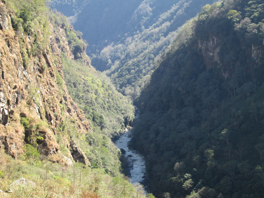
Steep ravines line the Arun River. Photo: NEA
To explore whether the Arun might be a Frankenstein patchwork of other rivers, the team made computer models of a hypothetical drainage piracy event and incorporated topographical data of the region. Then they compared the simulation’s predictions to the present-day paths of the Kosi river system. For a flood between 50,000 and 100,000 years ago, the computer hit close to the modern river courses and elevations. The closest model was for a drainage piracy event 89,000 years ago.
Although their predicted elevations differed from reality in some tributaries, the team argues that their results explain why Everest is growing faster than its neighboring Himalayan peaks. They suggest that as much as 165 meters of Everest’s height might have come from this isostatic rebound.
There’s precedent for this theory. Nanga Parbat, the fastest-growing mountain in the world at 7mm of elevation gain every year, is another beneficiary of drainage piracy driving isostatic rebound. So check back in 250,000 years when Nanga Parbat will claim its place as the world’s tallest mountain.
Hey, what about Makalu?
The world’s 5th tallest mountain might be getting even more of a boost from the theorized drainage piracy than Everest. The team’s simulations predicted the epicenter of the isostatic rebound would land right next to Makalu.
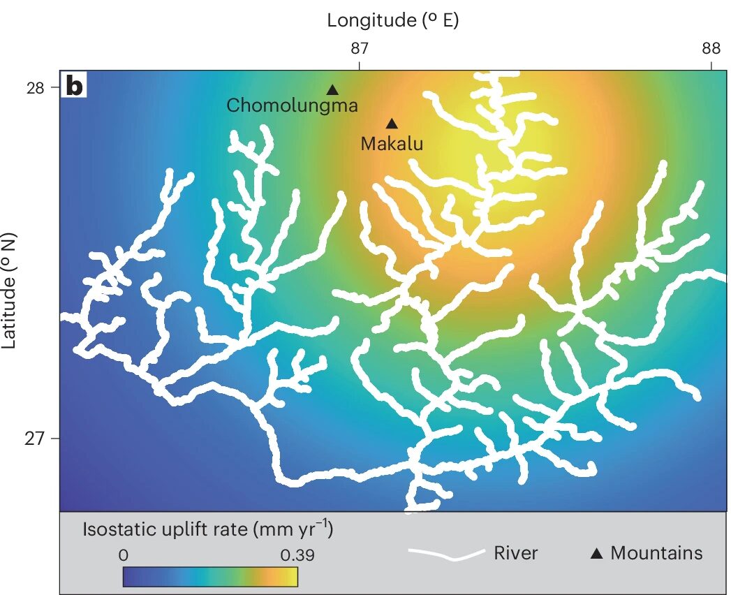
The team’s simulations show the growth rate expected due to isostatic rebound. Photo: Han et al 2024/Nature Geoscience
Unlike Everest and Nanga Parbat, though, scientists don’t have any precise observations of how fast Makalu is growing. If anyone wants to lug a GPS to the summit and stay up there taking measurements for several hours, they would be taking one for the team.