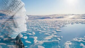
Borge Ousland and Vincent Colliard are now 28 days into their 1,100km bid to complete the first unsupported north-to-south ski crossing of Ellesmere Island. The pair began their journey from Ward Hunt Island on April 27 after a long weather delay. They have recently finished the Agassiz Ice Cap, the second of three ice caps they must traverse.
Progress has been good despite varied conditions. Early on, they faced broken sea ice along the north coast and a close encounter with a polar bear before reaching Cape Columbia, the northern tip of Ellesmere and their official starting point. They then skied south, moving inland over the Grant Ice Cap. Hauling 130kg sleds at over 1,000m elevation, the experienced arctic travelers managed around 14km per day despite deep, soft snow.
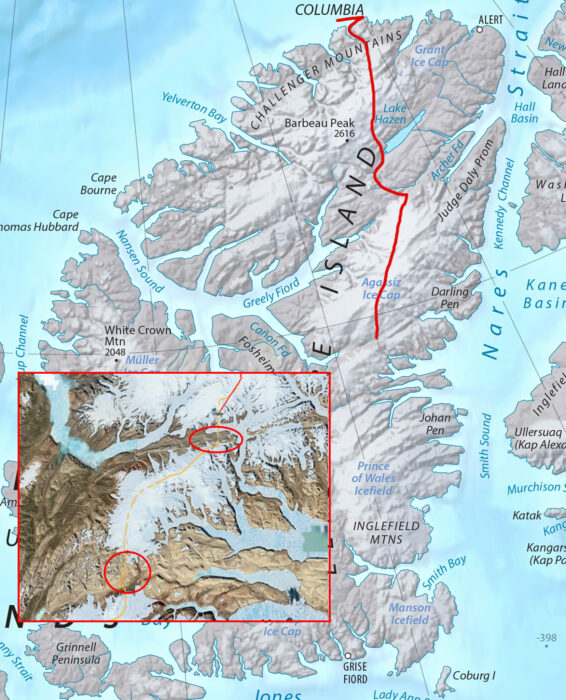
As Ousland and Colliard left the Agassiz Ice Cap, they have two areas of rocky ground to cross, circled in red. The bottom circle shows Sverdrup Pass. The red line traces their approximate route so far. Map Source: Shadedrelief.com
Rocky terrain ahead
More recently, they crossed a 90km stretch of sparsely snow-covered ground between the Grant and Agassiz Ice Caps. To avoid damaging the bottom of their plastic sleds on exposed rocks, they detoured along the frozen Dodge River. Though the riverbed proved ill-defined and rocky, scattered snow patches allowed enough cover for progress. They even increased their pace to around 20km per day.
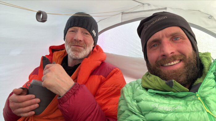
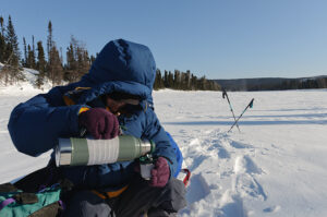
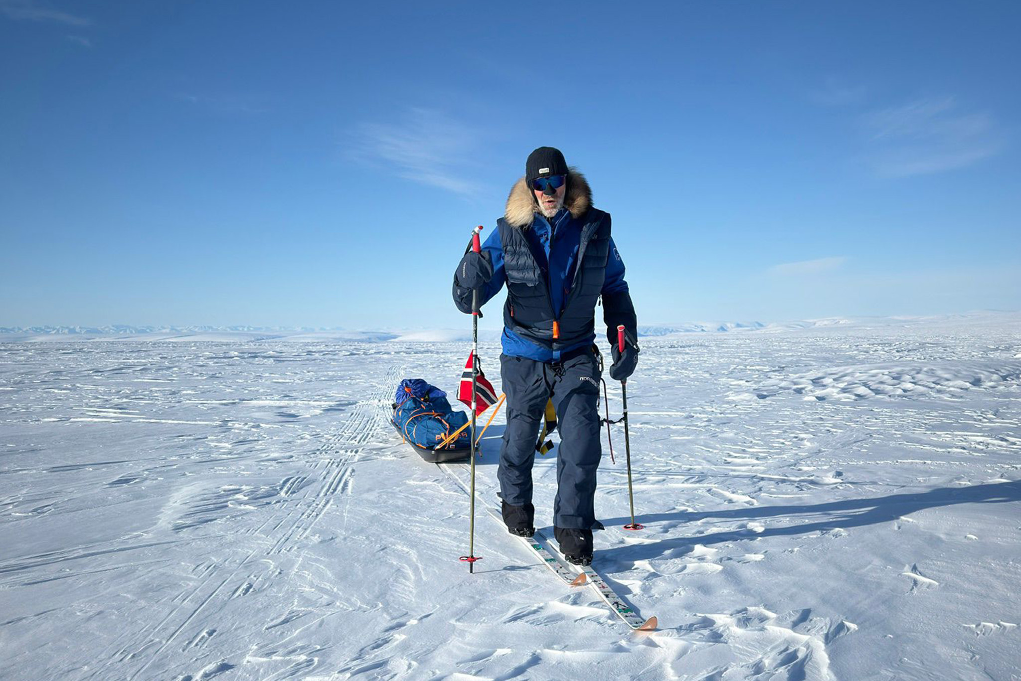
Ousland and Colliard in good spirits. Photo: icelegacy.org
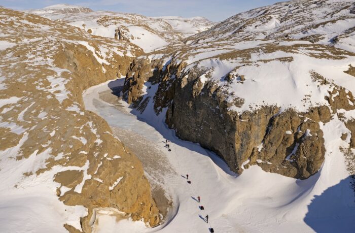
After finishing the vast Agassiz Ice Cap, Ousland and Colliard must navigate two tricky sections of bare ground that separate the Agassiz from the Prince of Wales Ice Cap. The first, a steep gorge which they skied through yesterday in a 14km day, lies east of Canon Fiord. There was sufficient snow cover not to require portaging of sleds on foot, or the use of ropes and crampons to overcome sections of steeper ground. They descended from 850m down to 350m, and up again to 700m, traveling through the narrow gorge.
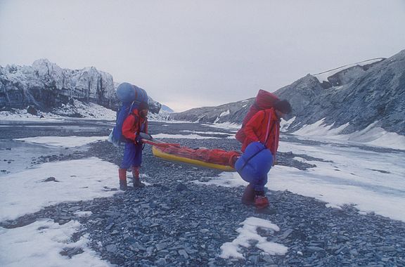
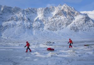
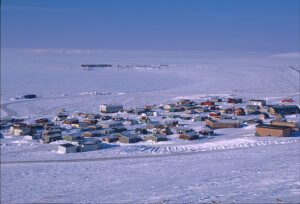
File image of Jerry Kobalenko and teammate portaging their sleds on a snowless section between Copes Bay and Canon Fiord, near Ousland and Colliard’s current position. Photo: Jerry Kobalenko
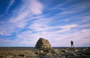
The pass, which acts as a wind tunnel, is a ribbon of snow and ice (or often rock and ice) that carves its way through steep slopes and deep canyons. At one point in the early 20th century, a glacier blocked the one route through the pass, earning it the name Hell Cleft among the explorers of that era. Photo: Weber Arctic
Wally Herbert’s struggle
In 1967, Wally Herbert, Roger Tuft, and Allan Gill dogsledded through Sverdrup Pass. The three-month journey from northwest Greenland and across Ellesmere was a shakedown trip for Herbert’s Arctic Ocean crossing the following year. In his book Across the Top of the World, Herbert wrote that his Inuit friends had warned that “if there was little snow in the valley, we would run into trouble.”
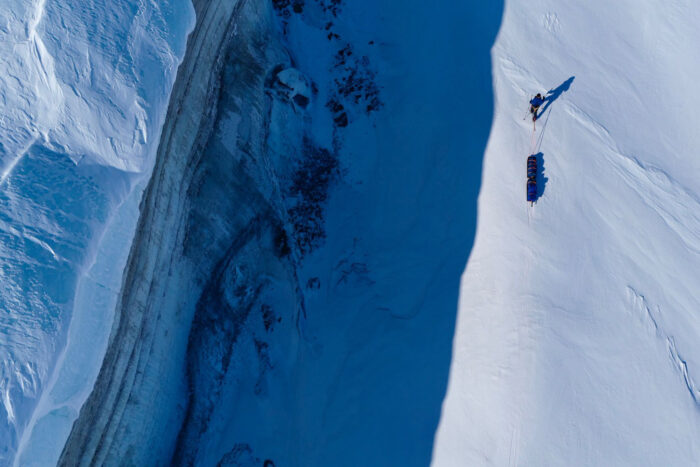
Borge Ousland from above. Photo: icelegacy.org
And that’s exactly what Herbert found, as the lack of snow and slow progress in Sverdrup Pass forced them to drastically ration their food. Ousland and Colliard will no doubt hope that they find more snow cover than Herbert did half a century ago.