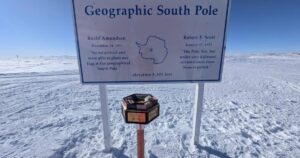
Antarctica is now, ironically, the best-mapped continent on earth.
Researchers from the University of Minnesota and Ohio State University have created a high-resolution map from satellite imagery that shows the entire continent to a resolution of just eight meters. Previous topographical maps were only accurate to within one kilometer.

Scientists traversing the West Antarctic Ice Sheet collecting radar data and ice cores. Photo: Lora Koenig | NASA.
The Reference Elevation Model of Antarctica (REMA), as it is officially known, is formed from millions of stereoscopic satellite images shot over Antarctica between 2009 and 2017. A Blue Waters supercomputer was then used to digitally stitch together the 150 terabytes of data.

An example of the old resolution (left) versus that of the razor-sharp Reference Elevation Model of Antarctica (right). Image by National Geospatial-Intelligence Agency
The new detail will help scientists better monitor the impact of climate change by observing changes in the melting and deposition of ice. Its precision will also allow safer journeys across the complex Antarctic terrain, 99 percent of which is covered in ice and riddled with crevasses, crumbling glaciers and jumbled ice sheets. The visual data should also help future explorers seeking unclimbed peaks or more efficient routes across the ice.


