Why did the woolly mammoth cross the road?
Or more specifically, why did the woolly mammoth cross the road, but not the woolly rhino?
A new study could explain why some ancient animals, like mammoths, crossed the Bering Land Bridge to North America during the last Ice Age while others, like woolly rhinos, stayed put in Eurasia.
Last year, a team of researchers led by Sarah Fowell, a paleogeologist at the University of Alaska Fairbanks, used sediment cores and sonar readings to study the seafloor at the bottom of the Bering Strait. They examined the shallowest parts of the ocean floor, i.e., the parts that would have been above water between about 36,000 and 11,000 years ago.
Until the study, scientists mostly assumed the Bering Land Bridge would have looked very much like other dry, northern land at the time — a steppe ecosystem, heavy on grass with some large bodies of water breaking up the terrain.
“We were looking for several large lakes,” Fowell said. “What we actually found was evidence of lots of small lakes and river channels.”
The team’s sediment cores also turned up moss leaves, egg cases, and other fossils that indicate “widespread water in the region.”
In short, the Bering Land Bridge was more of a Bering Land Swamp, analogous to the modern-day Yukon-Kuskokwim Delta in western Alaska, the scientists said.
Why not the woolly rhino?
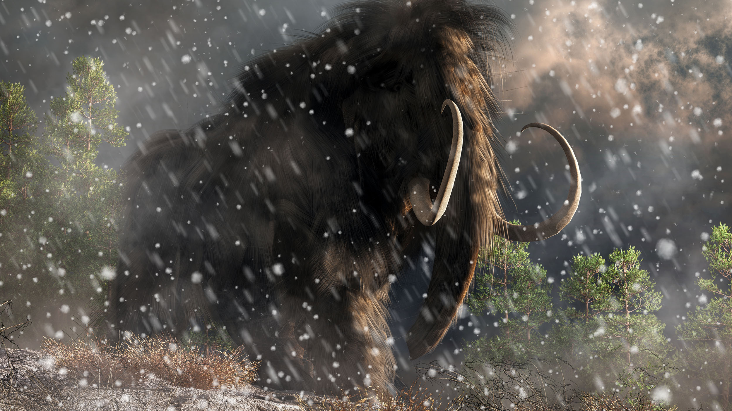
The first-of-its-kind study could help explain why some animals (including humans) crossed between North America and Asia while others stayed put. A bog would be no issue for a mammoth, especially if, as Fowell and her team suspect, there were still areas of higher, drier terrain to be found on the crossing. Birds would have also loved it. But animals like the woolly rhino shied away from such environments, preferring to stay on the arid tundra to which they were more accustomed.
The study is a good example of how longstanding scientific assumptions can be upended when the right minds come along to tackle the problem.
“We’ve been looking on land to try to reconstruct what is underwater,” said Jenna Hill, a geologist with the U.S. Geological Survey also involved with the study. “But that doesn’t really tell you what was on land that is now submerged between Alaska and Siberia.”
The Bering Land Bridge
Scientists believe that the Bering Land Bridge emerged at a moment when cooler temperatures caused much of the planet’s seawater to become locked up in ice.
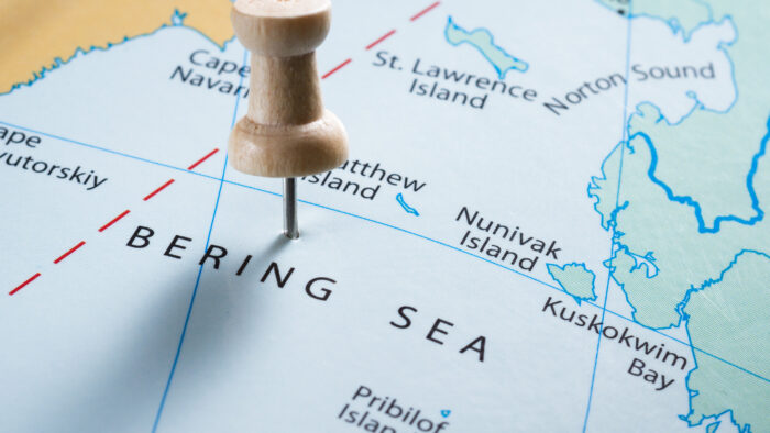
Photo: Shutterstock
They estimate that sea levels during the last Ice Age were as much as 122m lower than they are now. At that level, an area of “dry” land as wide as 1,000km would have stretched from Asia to North America across what is now the Bering Strait. Today, some islands — St. Lawrence Island, King Island, and several others — are all that remain of the once huge migratory pathway.
Fowell and her team presented the study this week at the Advancing Earth and Space Sciences annual meeting in Washington, D.C.
