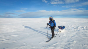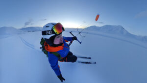
Both Arctic explorers and Inuit typically used sea ice as the best means of travel. It is typically flat, and the windblown snow is easy to travel on. The minute you step on land, you have to deal with small ups and downs and poorer snow.
But sometimes, the sea ice isn’t suitable. At some point in summer, it becomes open water. Before that, the ice breaks up into free-floating chunks. You can jump from one raft to another, but it isn’t easy going, and sometimes the gaps are too wide.
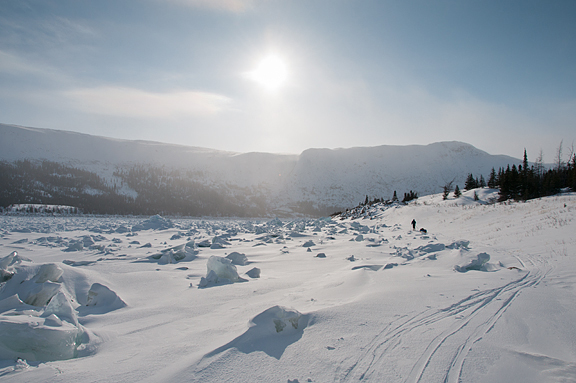
Other times, even in the spring travel season, the sea ice is just too rough. This happens when strong currents keep breaking up the sea ice until, as the deep winter cold sets in, the blocks freeze into a chaotic jumble. Sometimes, the jumble is old ice from the previous winter that has drifted around all summer until it comes to rest in some unpredictable spot during freeze-up.
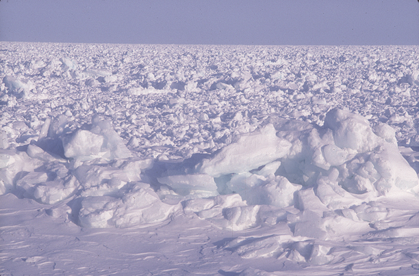
Rough ice in Barrow Strait near Resolute Bay, Nunavut. Better a 20km detour than 2km of this. This is old ice that has drifted around all summer and frozen in place come winter. The location of these patches is unpredictable from one year to the next. Photo: Jerry Kobalenko
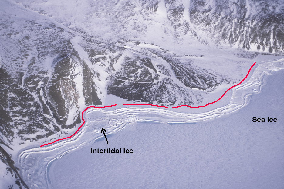
In these cases, a traveler sometimes takes the ice foot. This Arctic Highway is a narrow margin of smooth ice at the high tide line between land, the barrier of rough ice that rises and falls with the tide, and the outer sea ice. The ice foot is often just one or two meters wide, but that causeway allows swift and painless travel when other options are closed.
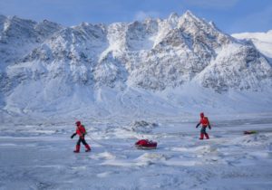
Manhauling on the ice foot alongside rough ice, George River, northern Quebec. Photo: Jerry Kobalenko
In rare places where polynyas abut steep shorelines, the ice foot is the only way to get around a cape. It is spooky because the ice foot — attached to the cliff faces like a shelf fungus — hangs over open water, and the piece you’re on can collapse any time. The fall can be quite a height in areas with high tides.
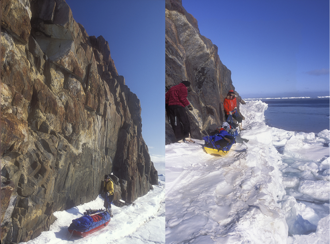
Rounding Cape Norton Shaw, Ellesmere Island, via the ice foot. The cape sits on the edge of the North Water Polynya. Photo: Jerry Kobalenko
Summer on the ice foot
In summer, the ice foot continues to cling to rugged shorelines. While they do, they can also serve as an Arctic Highway for summer hiking. However, they can present obstacles for kayakers: In regions with big tides, the shelf hangs high overhead at low tide, and there’s no way to get ashore — it’s like trying to get over a giant Elizabethan collar from below. Sometimes, a section of the ice foot has collapsed, and you can get ashore through the gap; otherwise, you must time your arrival for high tide, when the sea is flush with the ice foot.
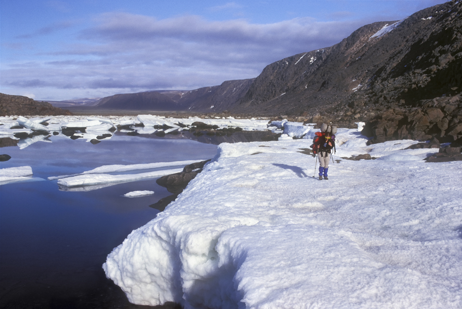
July hiking on the ice foot, Devon Island, Nunavut. Photo: Jerry Kobalenko
The only disadvantage of the ice foot is that you must follow the precise contour of the land, which adds distance, especially with bays or inlets. But good travel compensates for the longer distance.
At times, you can spend all day on the ice foot and even camp there, though with some trepidation. It also happens to be the polar bear’s highway. They’re not dumb. Like bears down south seeking out trails and logging roads rather than dense brush, polar bears have learned to use the ice foot, and their tracks are common there.