NASA has rediscovered an old Cold War U.S. army base under the Greenland Ice Sheet.
Buried under 30 meters of ice and snow, Camp Century was built in 1959 by cutting a series of 21 tunnels for three kilometers under the ice.
Dubbed the City Under the Ice, it was supposedly built to test sub-ice construction techniques. In reality, it had a very different purpose. It was meant as a secret launch site for ballistic missiles but was never fully completed.
There’s a camp under the ice! 🤯
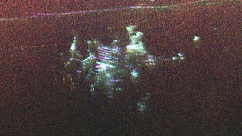
A new radar image captured by @NASAJPL scientists during UAVSAR instrument tests reveals structural elements of Camp Century, an abandoned U.S. military base that is now buried within the Greenland Ice Sheet. https://t.co/mksKUpXA59 pic.twitter.com/NZszT5PFlI
— NASA Earth (@NASAEarth) November 26, 2024
Abandoned half a century ago
After eight years, it was abandoned in 1967. The ice was not as stable as originally thought and started crushing the site, making it unusable. The U.S. left behind 200,000 liters of diesel fuel and millions of liters of sewage that no one wanted to clean up. Everyone assumed that it would all be trapped permanently within the ice. But as the ice sheet melts, those contaminants could start permeating through to the ground.
NASA’s Chad Greene and Alex Gardener spotted the camp while mapping the Ice Sheet. They were attempting to predict future sea level rise and were surprised when their radar suddenly detected the hidden city.
“We were looking for the bed of the ice and out pops Camp Century,” said Gardener. “We didn’t know what it was at first.”
For years, the site’s location was not a secret. NASA has detected the camp before, but never in such detail. Previous maps have only shown it in two dimensions, but NASA’s UAVAR (Uninhabited Aerial Vehicle Synthetic Aperture Radar) can map both the surface layers of ice and those beneath it. As with an ultrasound, many more details become visible.
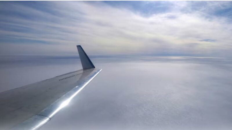
The scientists discovered the city as they flew over Greenland. Photo: Chad Greene/NASA
“Individual structures in the secret city are visible in a way that they’ve never been seen before,” said Greene.
Although the camp was thought to be disintegrating under the weight of the ice, the radar images match those of historical maps
