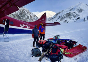
Next week, Americans Kyle Sprenger, 23, and Jacob Myers, 27, will travel to southeastern Alaska to ski 430km across the Bagley Icefield, often cited as the second-largest icefield outside the polar regions.
The two aspiring guides will fly from the small settlement of McCarthy to a remote landing strip near the Tana Glacier in Wrangell–St. Elias National Park. They will start skiing straight from the flight onto the glacier’s western tongue.
“From our most recent aerial survey, the firn line is sitting at around 4,000 feet,” Sprenger told ExplorersWeb. “So for the first two full days, we’ll be ascending on crampons through a broken hard ice environment before reaching the Icefield.”
The firn line is the point at which hard and exposed glacial ice gives way to snow cover. The duo will access the Bagley Icefield via the Tana Glacier. Once on the snow-covered section, they anticipate good skiing and aim to cover over 20km a day.
The planned route. Photo: Kyle Sprenger
“We’ll access the Bagley via the western lobe of the Tana Glacier, cramponing bare ice, weaving through wide-open crevasse fields, and traversing ice-cored moraines — essentially fields of debris underlain by active glacial ice that conceal crevasse-like geomorphology, requiring diligent travel,” Sprenger wrote on social media.
Size debate
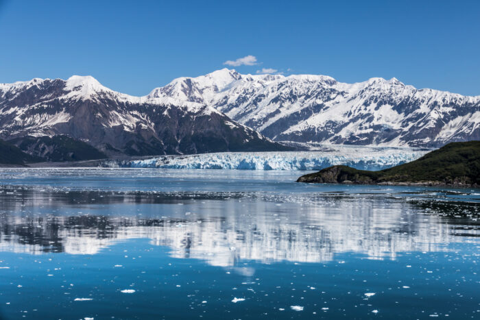
The Bagley Icefield is cited in several sources as the second-largest non-polar icefield in the world and the largest in North America. Some call the adjacent Kluane Icefield the world’s largest non-polar icefield, while others attribute that to the one in Southern Patagonia. It seems to depend on how a continuous icefield is defined. At any rate, the Bagley is big — 200km long, 10km wide at its widest. It narrows as Sprenger and Myers ski east.
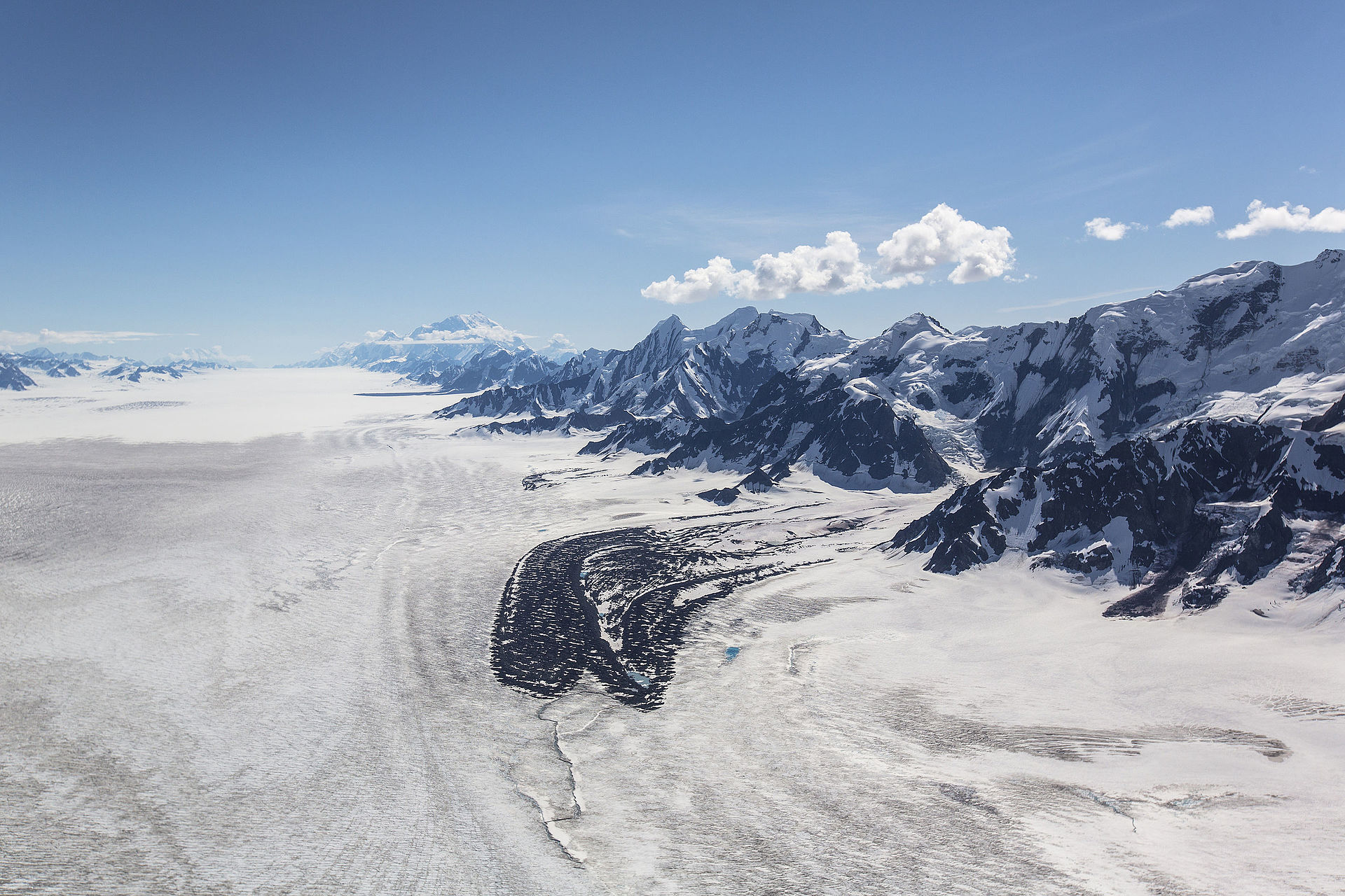
“Atop the Bagley proper, we’ll enter what may be the most extraordinary glacial environment on Earth: a river of ice stretching 127 miles long, up to 6 miles wide, and nearly 4,000 feet deep, flanked by the tallest coastal mountains on the planet — forming a frozen corridor between Mount Logan and Mount Saint Elias, North America’s second and fourth-tallest peaks,” wrote Sprenger.
The Hubbard Glacier, Alaska. Photo: Shutterstock
Further east, the pair will ski onto the Hubbard Glacier via a narrow col between two exposed ridgelines. “We’ll descend via the Hubbard before reaching the expedition crux — the steep and very narrow, less than two miles wide, Art Lewis Glacier,” said Sprenger. “We know it to have dense crevassing in places and parts of which sit above the firn line, so any cracks may be bridged over.”
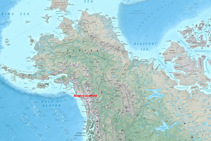
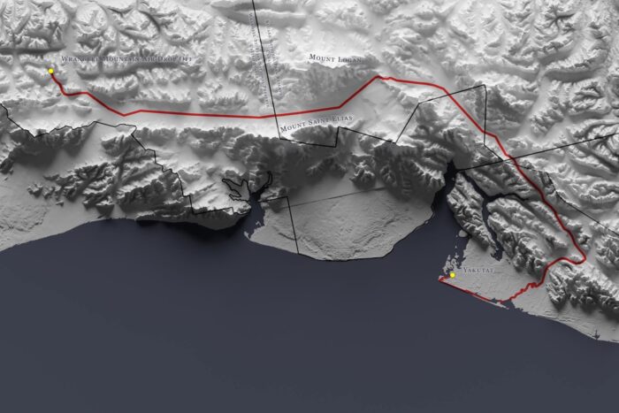
The Bagley Icefield sits close to the Gulf of Alaska. Map Source: shadedrelief.com
Switching from skis to boats
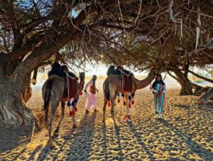
The descent of the Art Lewis will lead them to the fast-moving Yakutat Glacier, which terminates in a vast calving front in a glacial lake. From there, they will inflate their packrafts and paddle.
“Here…[we’ll] float for about 45-50 miles through the terminal lagoon and the ominously-named, though gentle, Dangerous River,” says Sprenger.
“We’ll pull out as the river transitions into vast tidal flats near its mouth at the Gulf of Alaska and transition back to moving on foot. We’ll hike this last leg of the expedition, only about 15 miles, along the ‘beach’ back into the town of Yakutat.”
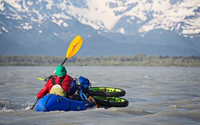
Packrafting on the Dangerous River. Photo: Aaron Teasdale
All told, the expedition will cover around 430km through both the United States and Canada. Sprenger notes that they’ll have to call the Canadian Border Patrol on their satellite phone to report their entry into the country.”
They will travel primarily through Alaska’s Wrangell–St. Elias National Park and Preserve, and in Canada, through Kluane National Park and Preserve.
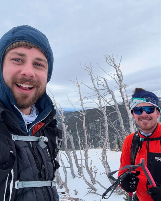
Myers, left, and Sprenger. Photo: Jacob Myers
“It’s not by any means a record-breaking expedition, but it’s one that will allow Jacob and me an opportunity to further grow in the adventure space and gain more experience,” said Sprenger.