Have you ever wanted to see Earth through the eyes of the astronauts? NASA’s Gateway to Astronaut Photography of Earth is an incredible catalogue of images that allows you to do just that. It offers a new perspective on our planet, captured by astronauts aboard the International Space Station (ISS) and on past space missions.
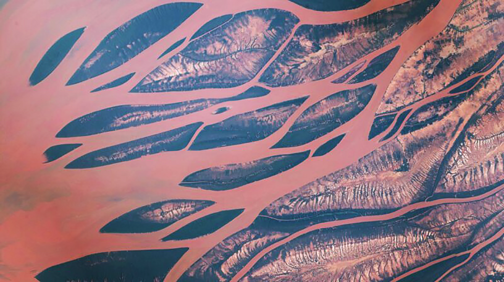
Betsiboka River Delta, Madagascar. Image courtesy of the Earth Science and Remote Sensing Unit, NASA Johnson Space Center
This searchable online archive features over 1.8 million photos of the Earth taken over the last seven decades.
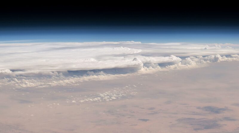
A wall of clouds encroaches the Al-Qassim region of Saudi Arabia. Image courtesy of the Earth Science and Remote Sensing Unit, NASA Johnson Space Center
Search image categories
Using the search tool, you can explore images by location, mission, or collection. For example, you can look up high-altitude overviews of your city or your favorite landmarks. You can choose specific categories such as Volcanoes, Earth Art, Mission Highlights, or watch time-lapse videos.
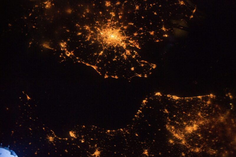
London at night. Image courtesy of the Earth Science and Remote Sensing Unit, NASA Johnson Space Center
This is so much more than a collection of amazing photos. Astronauts are trained to capture images for scientific studies, and the Crew Earth Observations (CEO) track environmental changes, monitor natural disasters, and study how human activity affects the planet.
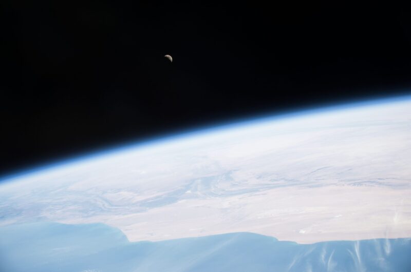
A crescent moon hangs above the blue Earth. Image courtesy of the Earth Science and Remote Sensing Unit, NASA Johnson Space Center
Astronauts on the ISS work with land-based scientists to target key regions. Orbiting at 354km to 460km above our planet, the ISS offers an unparalleled platform. Every image includes location details and camera information and is free to download.
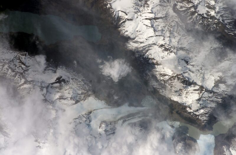
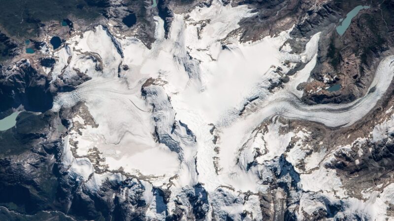
Frias and Dickinson Glacier. Image courtesy of the Earth Science and Remote Sensing Unit, NASA Johnson Space Center