A new project from a glacial scientist and historical geographer turns the history of Arctic exploration into an online, interactive map.
On the site, you can follow the search for two famous sea routes through the Arctic, the Northeast and Northwest Passages. When the timeline starts, the entire region is covered in a fog of ignorance, which gradually dissipates as successive expeditions pass through. Their little animated boats hop across the map following historical routes, with toggle-able explanations of each expedition.
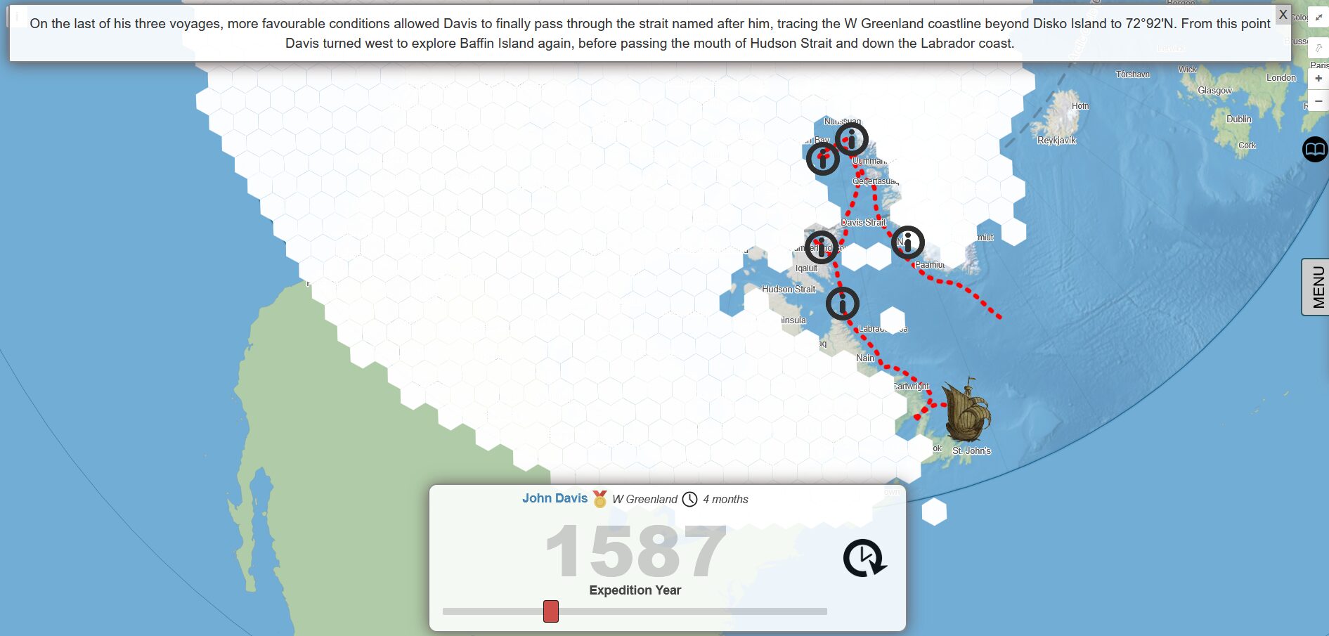
John Davis’ 1587 expedition, charted on the interactive map. Photo: Screenshot
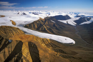
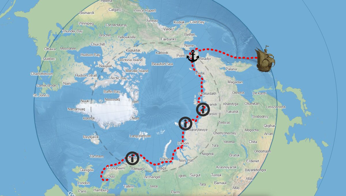
Arctic routes from 1492 to today
While the timeline of expeditions unfolds, you can toggle on displays showing the evolving “farthest north” record, sea ice, average temperatures, and Magnetic North Pole deviation. Little anchors mark harborings, and overland travel appears as a walk-sign style figure driving a dog sled.
Both routes start in 1492, when the rediscovery of America launched a European scramble for land, resources, and trade routes. After the successful completion of both passages, the timeline jumps ahead to the 21st century. Now, melting ice keeps the passages open and navigable, realizing the trade route dreams of the 15th century, though at a steep price.
I feel like this would be a great thing to put up on a projector at a party and go through, provided the people at that party were really into Arctic exploration. You could clap and cheer when your favorite expeditions came up, and boo and throw popcorn at explorers you dislike. That sounds like a really good party to me.
Of course, it’s also an excellent resource for polar history newcomers. If you regularly confuse your Barentszs and your Berings, or can’t get John and James Ross straight, a run or two through the timeline should fix it.
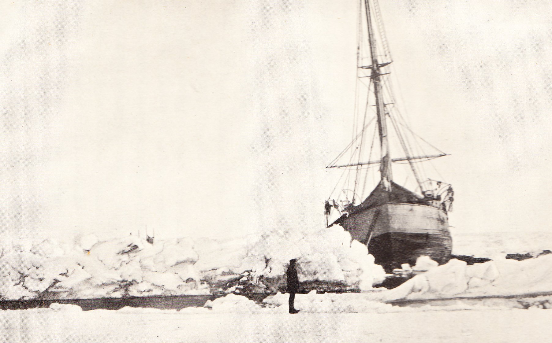
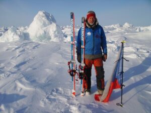
Fridtjof Nansen’s 1893 ‘Fram’ expedition is the penultimate stop on the NE passage side of the tour. Photo: Farthest North
Maps and myths
The map is part of a larger project, created by Dr. Henry Patton, a glaciologist who turned to the study of historical cartography. In 2024, he launched the accompanying blog, which dives into particular cartographical curiosities.
His original project, which you can also explore, is a map of the world; but one significantly stranger that what we’re used to seeing. There’s a massive inland sea where Alberta and Saskatchewan should be, California and Korea are both islands, and phantom isles, channels, and mountain ranges abound. This Map Myths project showcases thousands of years of confused mapmakers, mistaken or lying explorers, and fabled lands.
You can explore his Arctic history map yourself here.