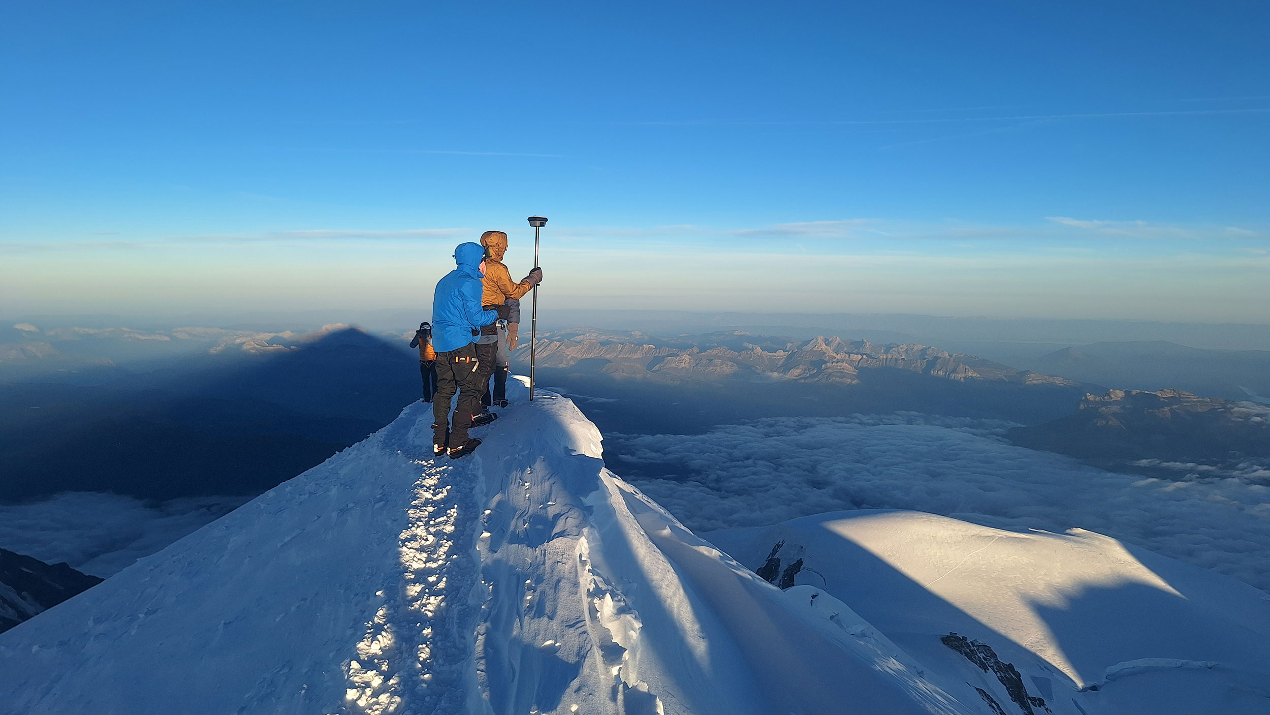
These days, topographic surveys typically show that a mountain’s altitude is decreasing due to shrinking snowcaps. But strangely, Mont Blanc, the highest peak in the Alps, has grown significantly since its latest measurement in 2023.
Mont Blanc is now 1.88 meters taller than it was three years ago, according to a recent report by France’s IGN (National Geographic Institute). The new official altitude is now 4,807.47 meters (15,772.5 feet) above sea level.
However, it may be wise to wait before changing the figure in climbing guides. Measurements are carried out every two years, and each time the registered altitude varies:
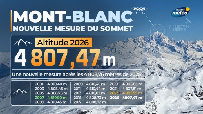
Graphic showing the results of the last few measurements on Mont Blanc, by LaChangingMeteo
Mont Blanc’s “summit is constantly shifting,” Jean des Garets, chief geometer in the Haute-Savoie department, told Le Monde. “Each individual measurement is not significant in itself.”
So, what’s with the yearly differences? Obviously, it’s the variation in the thick but ever-changing snowcap that covers the summit.
The mountain’s rocky summit measures around 4,792m above sea level. The snow cover varies with the seasons. The difference from the previous measurement shows that 2023 was much drier at summit altitude.
How the measuring was done
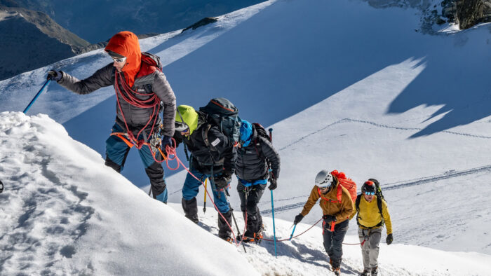
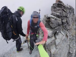
The survey team on itsir way to the summit of Mont Blanc.. Photo: ING
A team from the Order of Chartered Surveyors (Ordre des géomètres-experts) acclimatized first by climbing Bishorn (4,153m). They then spent some days measuring several points around the mountain. Finally, they climbed Mont Blanc via the normal route on September 15-16.
Once on top, they pinpointed the highest point using a GNSS (Global Navigation Satellite System) pole, which measures altitude in real time.
Measuring gravity
The recent survey featured an interesting novelty. In addition to altitude, the survey also measured Mont Blanc’s gravity by installing a gravimeter on the summit for the first time ever. This measured the force with which the Earth attracts the device. In so doing, they wanted to determine whether the summit has sunk, regardless of ice cover.
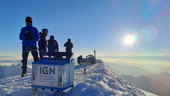
The gravimeter on the summit of Mont Blanc, September 16. Photo: ING France
“When the height of Mont Blanc changes, we can’t know for sure whether the ground or the rock has moved or if the ice has melted,” explains Olivier Jamet.
Gravity provides the missing information: mass. If the ice has melted, there is less material under the instrument, but the rock has moved closer to it. Distinguishing these two effects requires a model of the ice cap and the massif, and above all, repeated measurements at the same location. And the effort is worthwhile, especially now that the effects of climate change on Alpine glaciers are becoming increasingly apparent.
The gravimeter on the top of Mont Blanc measured the gravity at 9.7944689 m/s².
“For comparison, this value is 9.81 m/s² in Marseille (located at sea level) and 9.8043046 m/s² in Saint-Gervais-Le Fayet (580m above sea level),” ING reports. “This difference in value, even if it seems small, allows for the detection of changes in mass, particularly in the mass of the ice. Repeated over time, these gravity measurements will thus contribute to improving the determination of the altitude of the highest peak in Western Europe.”
Check out more on the research here.