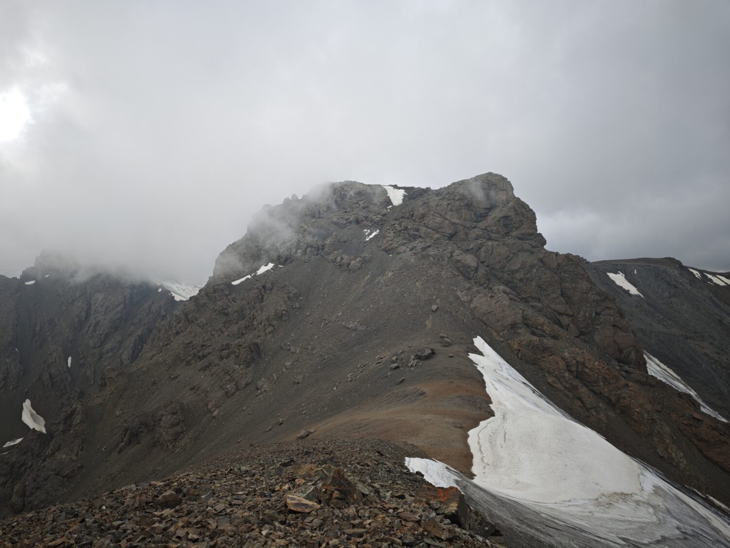
Chinese climber Taozhu Zhou has devoted years of his life to visiting remote, underexplored mountain ranges in his home country. Zhou is not necessarily looking for high mountains, but rather prominent peaks.
Zhou shared with ExplorersWeb a report about two solo ascents he completed in July. He climbed two peaks in northwest Xinjiang, China. His ascents (both traverses) on Kertau/Tapkhan Peak and Sauyr Zhotasy involve a fascinating mix of great roads that allow a comfortable approach by car, and true exploration in a wild, rarely documented region. With limited information available, he had no clue about the route, the difficulties ahead, or even where the real summits were located.
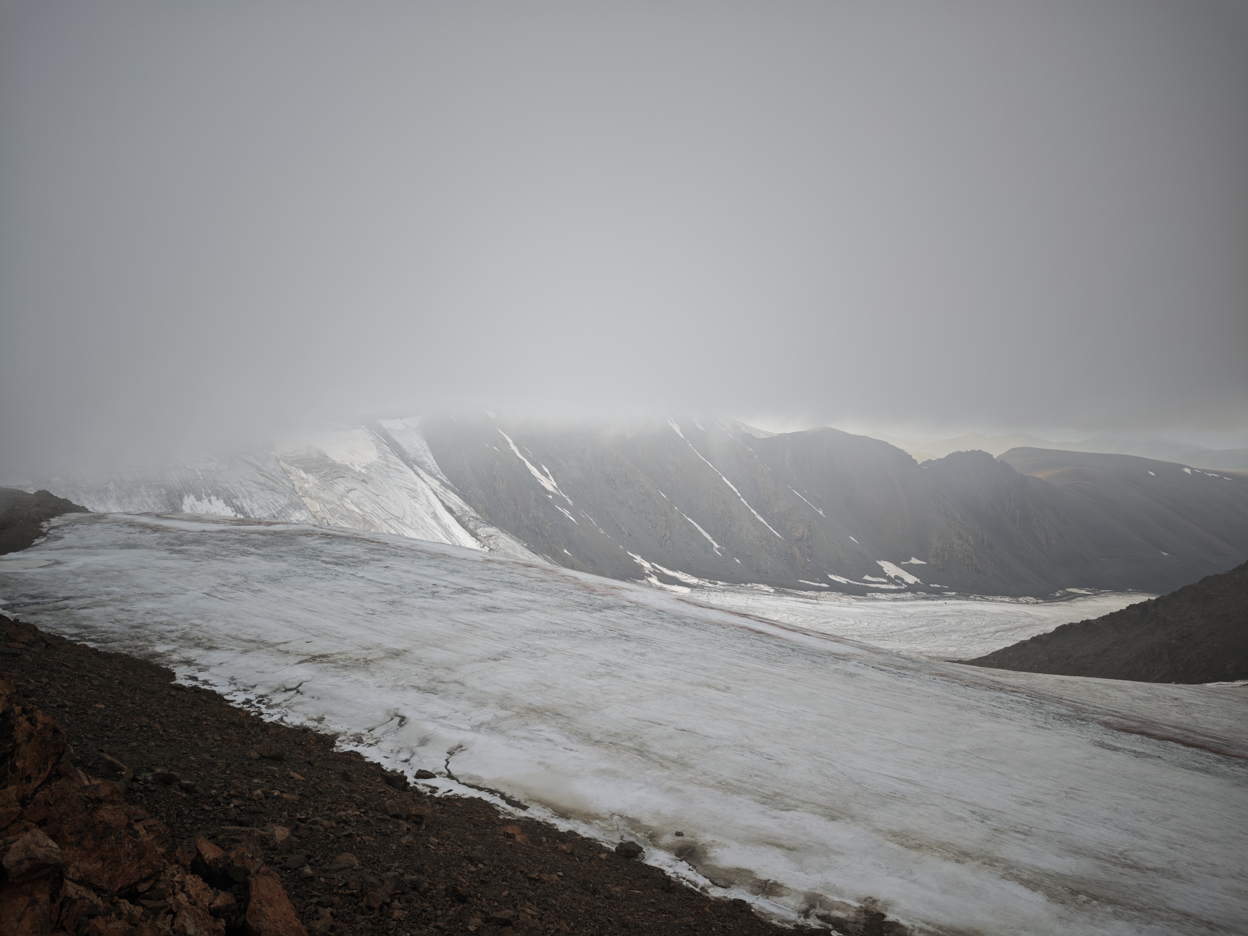
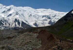
The glacier on the north side of Muz Tau marks the border between China and Kazakhstan. Muz Tau Glacier is a vital local water source supporting approximately 40,000 residents, more than 200,000 livestock, and about 80 square kilometres of arable land. Photo: Taozhu Zhou
Upon returning, Zhou has been engaged in impressive research work. He has documented the Muz Tau south-ridge terrain and subsidiary-summit bypasses, access routes, his descent route, communication difficulties, glacier conditions, and proposed a difficulty rating.
Wild and remote
“On July 5 and July 7, I made solo traverse-style ascents of two remote, high-prominence border-range high points in northwestern Xinjiang, near the China–Kazakhstan frontier,” Zhou told ExplorersWeb. “[They were] Kertau/Tapkhan Peak, which is the highest point of the Barlik Range, and Sauyr Zhotasy/Muz Tau, the high point of the Saur Range.”
Both mountains belong to isolated northern ranges located between the core Tien Shan and the Altai systems. They rise independently from other peaks, and there is very little information about previous expeditions and climbs.
Zhou explained that the peaks are modest in altitude and difficulty compared with the best-known Tien Shan peaks — such as Khan Tengri and Pobeda Peak — but have high prominence. They are true exploratory peaks, remote, with uncertain historical records. Climbing them solo involved plenty of uncertainty and independent decision-making; the essence of adventure.
Zhou was unable to find any records of previous ascents on Kertau Peak, which might make his climb a first ascent.
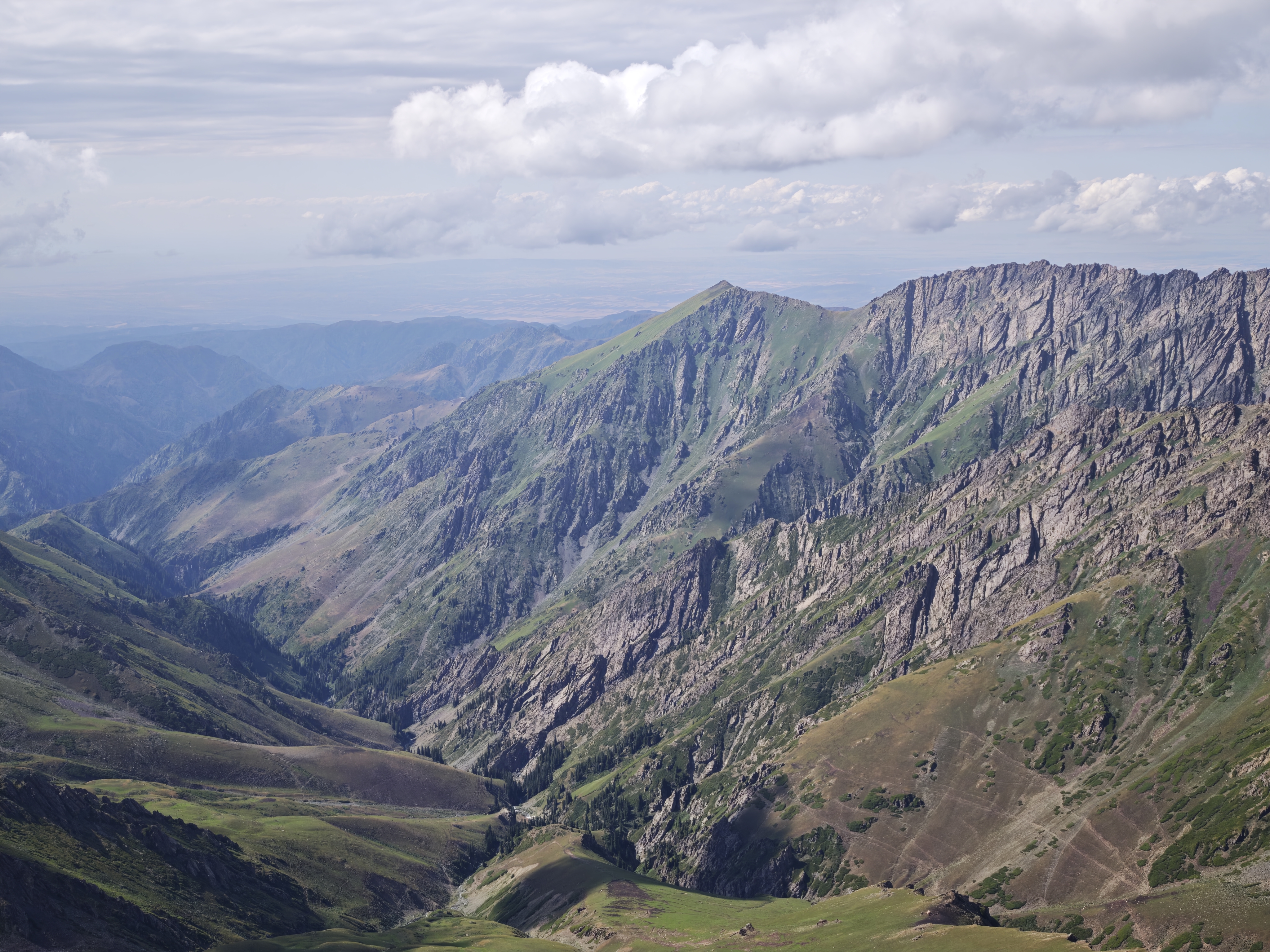
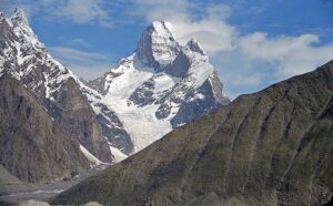
General view of Kertau. Photo: Taozhu Zhou
“I climbed both small summits within the probable central high-point group and then traversed approximately 1.5km to the southwest summit before descending by a different line,” he wrote. “When I arrived, the central group appeared free of obvious pre-existing cairns, markers, rubbish, or other evidence of previous visitation.”
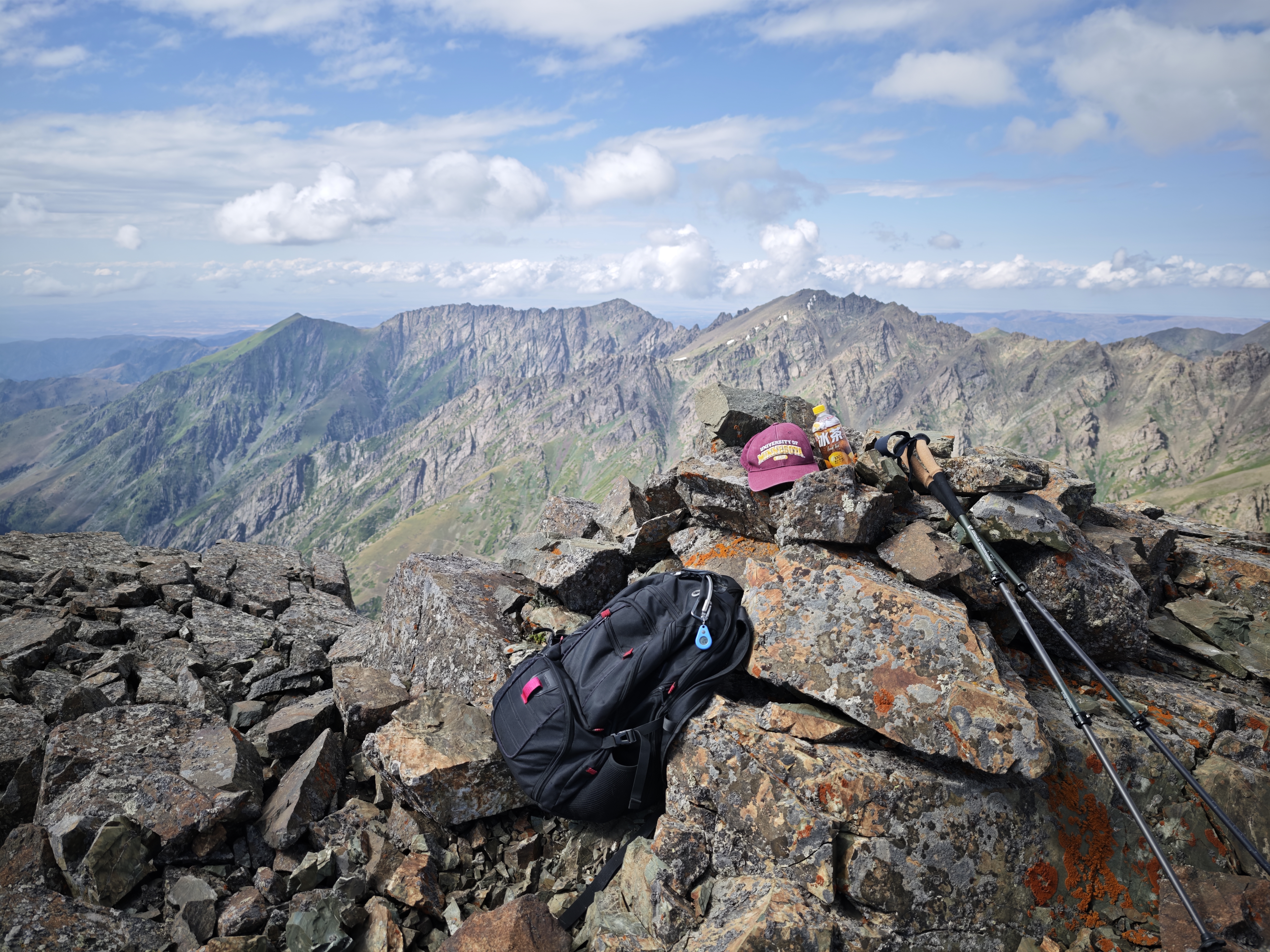
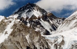
The highest point of Kertau. Photo: Taozhu Zhou
“However, approximately 200m west of the southwest summit, I found a conspicuous circular stone structure about one meter high. I therefore describe the climb cautiously as a possible first documented ascent of the probable main summit/central high point, rather than as a first human visit to the wider Kertau summit region,” Zhou noted.
Muz Tau
Zhou’s main goal was Muz Tau, a peak with a fascinating history.
“Following the first known ascent of Mount Boising in Papua New Guinea in 2014, Muz Tau was regarded in English-language sources as possibly the world’s most topographically prominent mountain without a documented main-summit ascent,” Zhou explained.
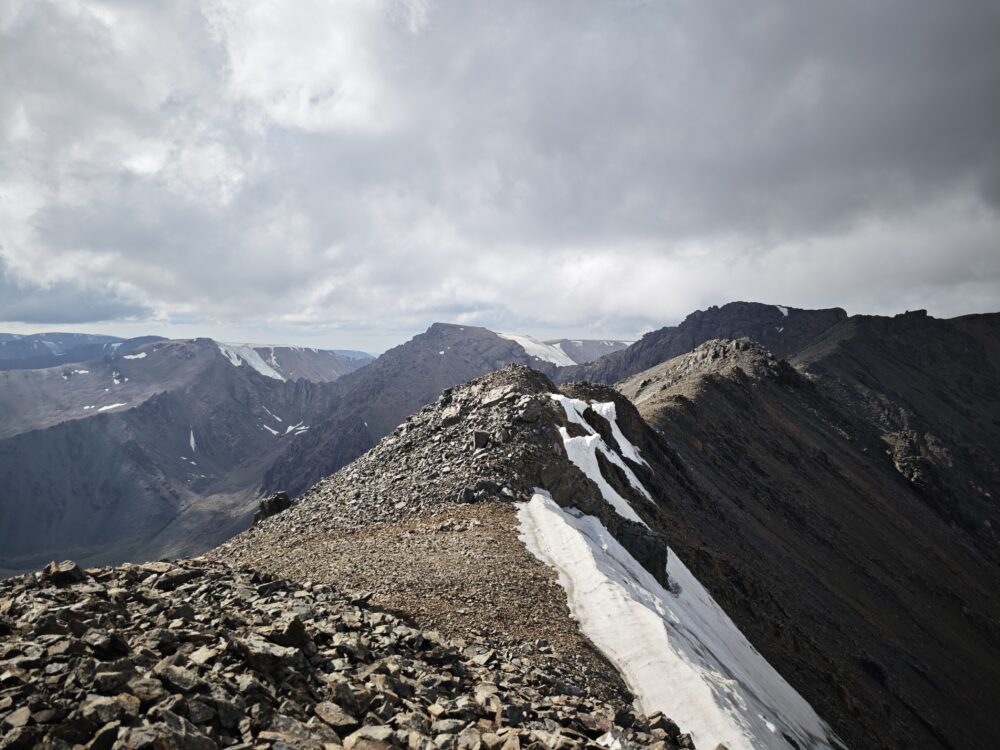
South ridge of Muz Tau. Photo: Taozhu Zhou
Muz Tau is 3,840m high and has a prominence of 3,252m. Kertau is officially 3,252m and has a prominence of 2,335m. Both peaks are relevant not because of great absolute elevation, but because they are highly prominent, geographically isolated, little-documented range high points in remote border mountain systems.
However, in modern China, long expeditionary approaches are ancient history. There are great roads everywhere.
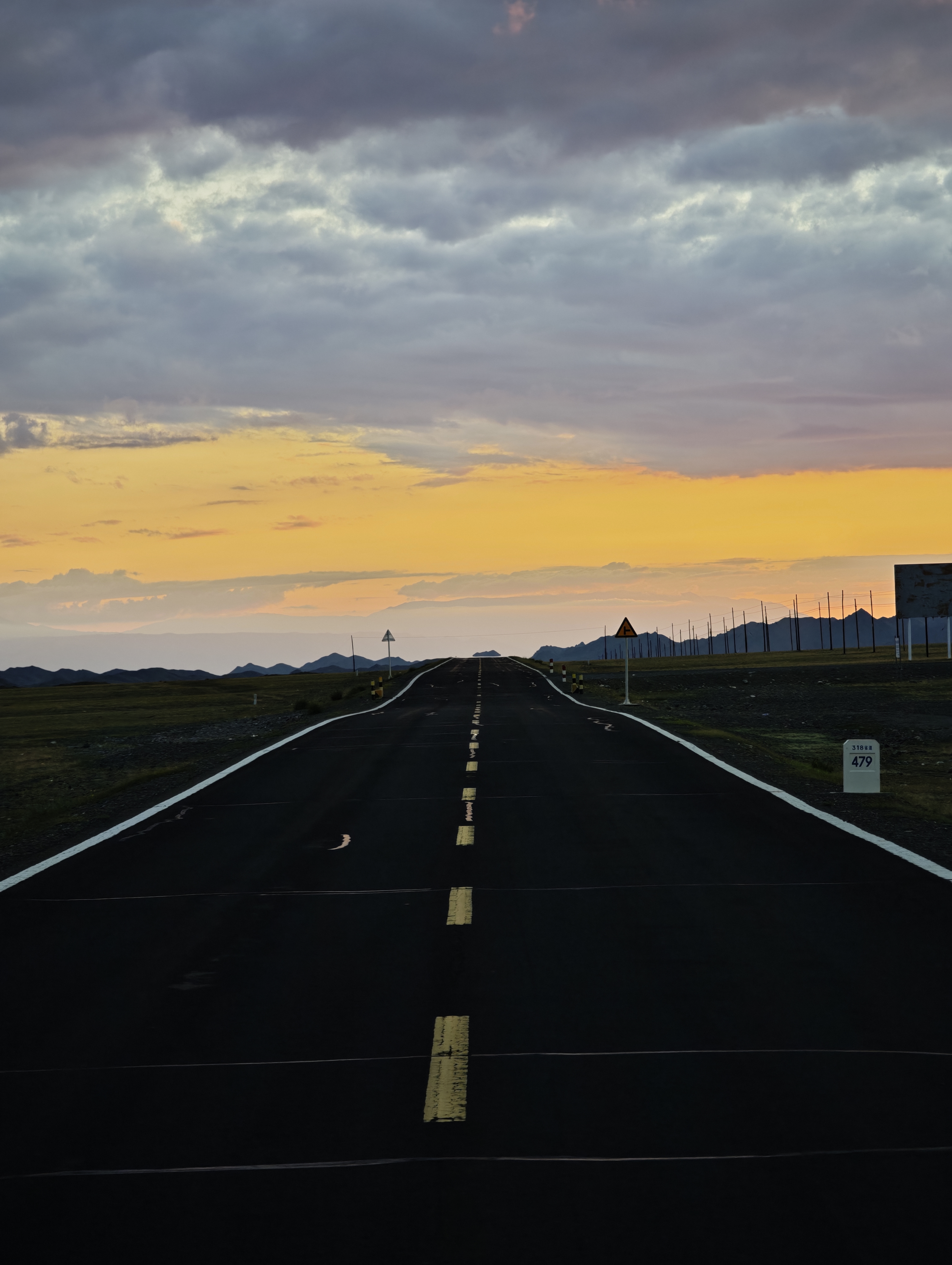
Driving toward a first ascent. Photo: Taozhu Zhou
Driving to a first ascent
Zhou drove to the area before climbing solo up a valley on the southeast side of the mountain. He climbed to a long ridge that went from south to north. To reach the summit, he had to traverse five subsidiary points and a section of unstable rock between an area he identified as the “south summit” and a col that would finally lead to the highest point.

Loose rock between the south summit and the north side of Muz Tau. Photo: Taozhu Zhou
“The poor rock quality was demonstrated when, while lightly testing a potential handhold, a block roughly the size of a refrigerator detached almost immediately. It tumbled down the slope, broke into many pieces, and the crashes and echoes continued for what felt like several minutes,” Zhou recalled. Completely alone, he described the incident as frightening and moved more cautiously.
A partially hidden peak
Once at the top, he had to double-check it was the highest point. The main summit was not visible from the south until Zhou was approximately 2.5km away in a straight line.
“Even after it appeared, it did not look like a dominant pyramid or visually obvious principal mountain,” he said. “The col between the south summit and the true main summit is at approximately 3,690m. From that col, the main summit rises only a little more than 100m. It consequently appears visually small despite being the highest point of the entire mountain system. This hidden and visually non-dominant character helps explain why previous photographs, maps, and expedition labels may have failed to identify the true summit correctly.”
From the summit, he descended a separate east-oriented gully. He thus supposes he might have been the first to traverse the mountain, but not the first summiteer. “I found clear evidence of earlier human visitation: a man-made cairn on the exact highest point, a broken glass bottle slightly south of the high point, and wooden sticks on slightly lower ground to the north.”
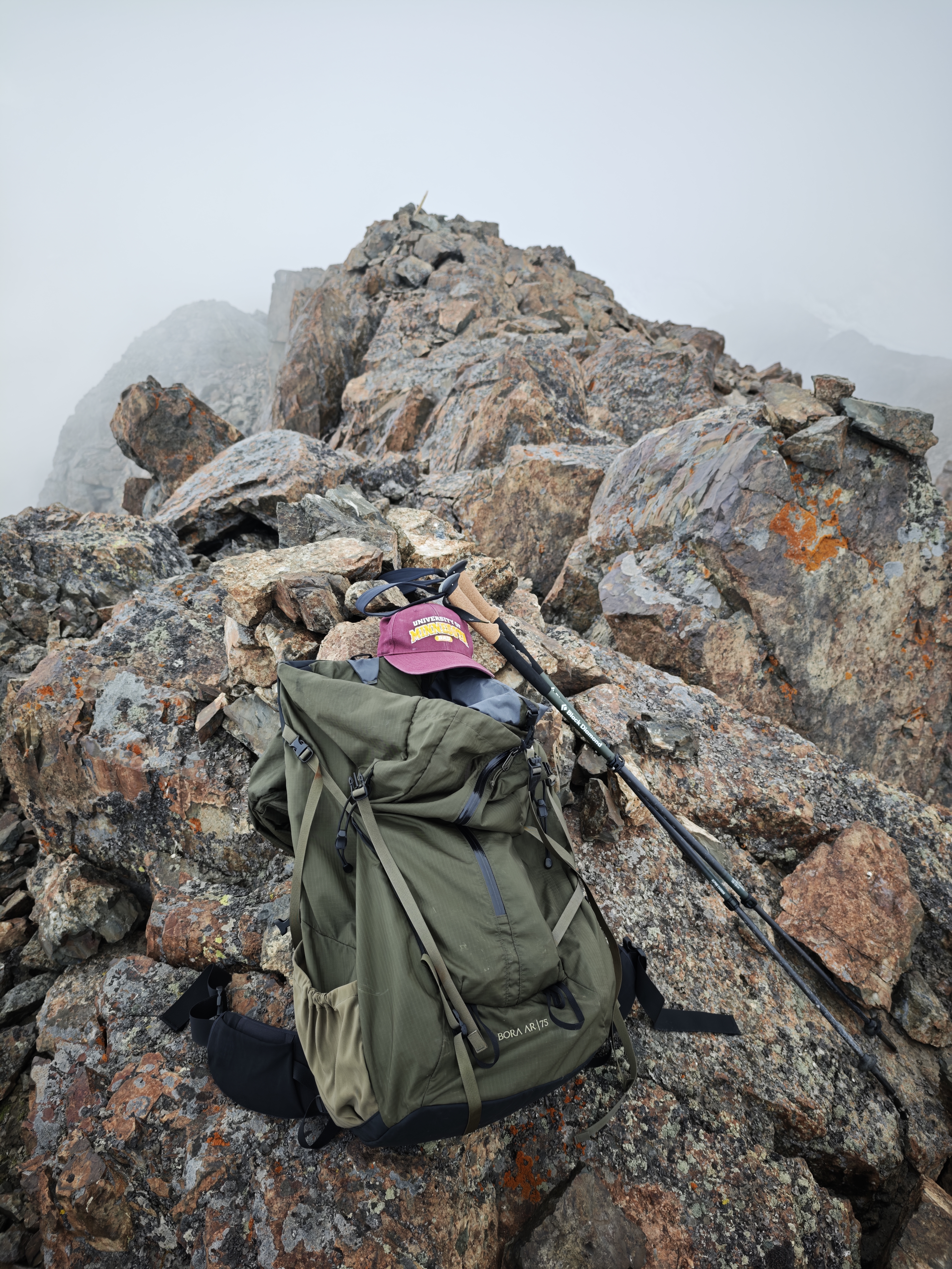
Zhou found evidence of a previous ascent on the summit. Photo: Taozhu Zhou
This was likely the first documented climb of Muz Tau, a conclusion the Chinese climber reached after thorough research work. In a subsequent 77-page report, Zhou documented the geographical and topographical details of the peaks he climbed, and provided valuable background information on the region.
A note on names
Muz Tau is a Kazakh/Turkic name meaning “Ice Mountain.” Muz means “ice,” and tau means “mountain.” Kertau can be understood approximately as “Great Mountain” or “Imposing Mountain,” while Tapkhan/Tapqan means “found” or “discovered.” The Chinese name 木斯岛山 is a phonetic rendering of Muz Tau.
Zhou’s project
The ascent of the two peaks is part of a broader long-term project Zhou has called P2000, devoted to identifying, climbing, and documenting some of the world’s prominent, remote, and historically or geographically significant unclimbed or poorly documented mountains.
For him, topographic prominence is one of the principal factors he takes into account. However, remoteness, mountain-system status, ascent history, and geographic importance are also important.
“There are approximately 490 P2000 mountains on Earth in prominence-based compilations,” Zhou wrote. “After reviewing them, I found that fewer than 30 appear to have no known ascent or summit-region visit in publicly available sources. Muz Tau and Kertau represented two of the most important unresolved candidates in Xinjiang.”
At the climber’s request, we have not published photos of him.