Building on the work of a 2007 expedition, an Australian-British expedition has solved a 3,000-year-old riddle, tracing the source of the Oxus River to a high-altitude glacial lake in Afghanistan’s Wakhan Corridor.
Now known as the Amu Darya, the Oxus was one of the great classical rivers of antiquity. Nowadays, it flows through Turkmenistan, Tajikistan, Afghanistan, and Uzbekistan from its headwaters in the Pamir Mountains. Since the end of the 19th century, the source of this river was of great interest because of its importance in the Great Game, the rivalry between Britain and Russia for control of Central Asia.
Four sources were proposed. Travel writer Bill Colegrave’s 2007 expedition to the Wakhan Corridor found that two of those sources were the same stream, called Chelab. The Chelab eventually came to be accepted as the true headwaters of the Amu Darya. But no one had traced the Chelab to its source.
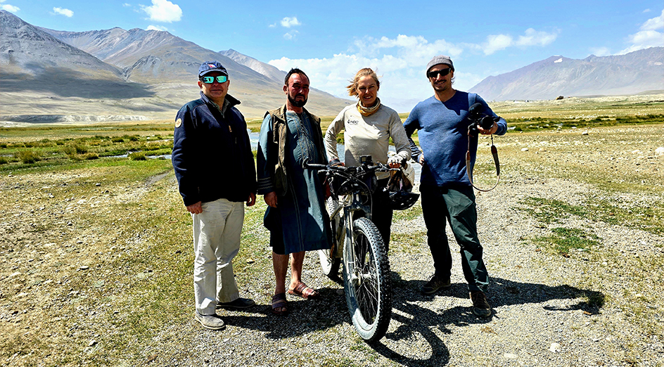
Rupert McCowan, left, and Kate Leeming, second from right, in the Pamir Mountains. Photo: Expedition team
A glacial lake
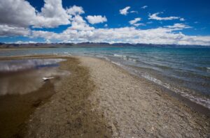
Using maps and satellite imagery, the current expedition discovered that higher in the mountains, the Chelab began as two streams, the East and the West. Less than eight kilometers from where those two streams joined, at an altitude of 4,951m, was a glacial lake called Lake Malang. This was the very beginning of the river.
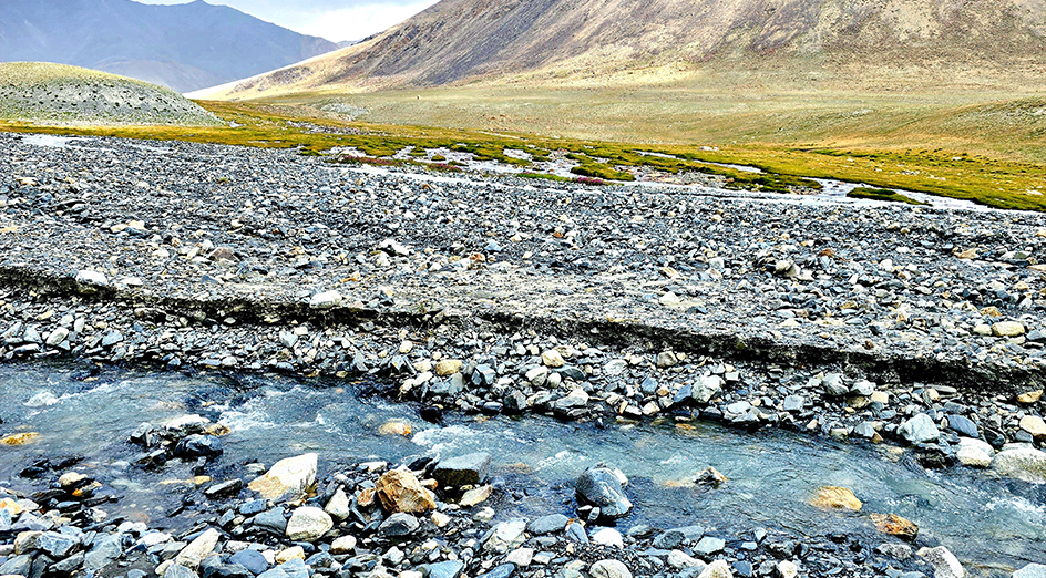
The Chelab’s West stream, foreground, and East stream, background. Photo: Expedition team
Among those involved in the discovery were Rupert McCowan, director of the Royal Geographical Society – Hong Kong, and Kate Leeming, familiar to early readers of ExplorersWeb as an adventure cyclist. Ten years ago, she was training in Greenland for an attempt to cycle across Antarctica, which never quite came off.
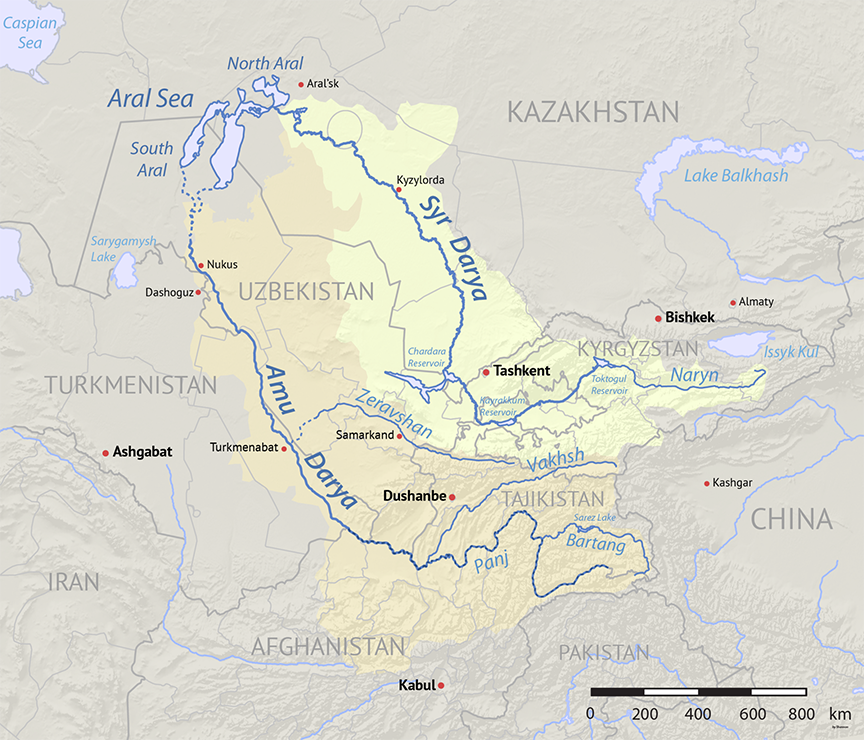
The Amu Darya, along with its sister river, the Syr Darya, are the lifeblood of Central Asia. Beginning as glacial runoff in the high peaks of the Tien Shan and the Pamirs, they are almost the sole sources of water in what is otherwise a vast desert.
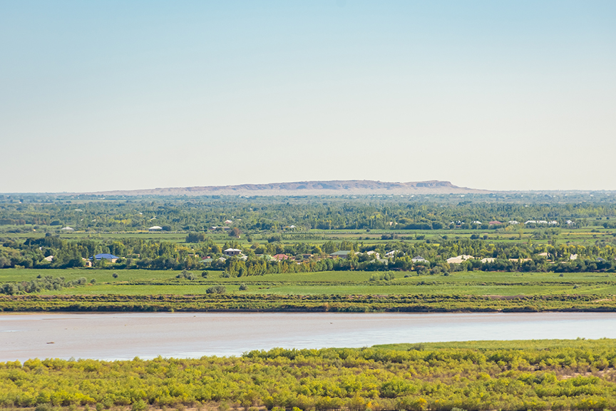
During Soviet times, elaborate canals diverted their precious water to help irrigate the thirsty cotton crops of Central Asia. These diversions prevented them from reaching the Aral Sea, as they traditionally did, and provoked the Aral Sea to shrink and dry.
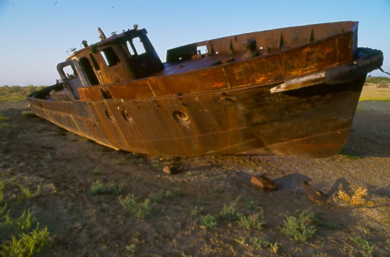
What used to be the shores of the Aral Sea, now a desert. Photo: Jerry Kobalenko