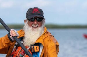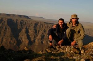
It took 16 years, but Eric Gilbertson of Seattle, Washington, has become the first person to climb to the highest point in every country in the Americas. The term encompasses North, South, and Central America, as well as the Caribbean.
Ticking off every country’s high point is as much a question of timing as it is of mountaineering skill or logistics. For many years, geopolitics hamstrung Gilbertson’s long-term quest. Starting with Denali in May of 2010, he had climbed 32 of the high points in 35 countries, but a couple of places remained stubbornly out of reach.
Venezuela and Guyana
Venezuela’s poor relations with the U.S. made visiting difficult, and getting permission to climb its highest point, Pico Bolivar, very unlikely. This cut off access to both Venezuela’s highest point and Guyana’s, which was on the border and blocked by steep cliffs unless approached from Venezuela.
However, after the U.S. sent in special forces to spirit Venezuelan president Nicolas Maduro back to New York to face drug trafficking charges, everything changed. E-visas were now available, and Gilbertson saw an opportunity to complete his remaining highest points. He hastily arranged a trip this summer to reach his final three peaks, beginning in Guyana in June.
It still wouldn’t be simple.
“Guyana was one of the few remaining countries in the world where the exact location of the country’s high point was not known with certainty,” Gilbertson told ExplorersWeb. The high point was somewhere on Mount Roraima, a huge tepui (a flat-topped mountain with sheer sides that form isolated “islands” in the jungle on the border between Venezuela, Brazil, and Guyana. Further complicating matters, the exact border is disputed.
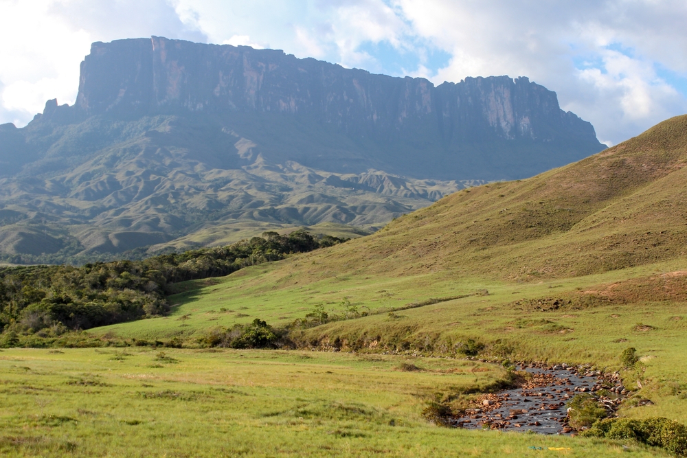
Mount Roraima is a tepui — an isolated flat-topped mountain. The word comes from the local Pemon language and means ‘house of the gods.’ Photo: Shutterstock
“I planned to try to get to the digital elevation model high point candidates with a surveying level to identify which point was highest, or if there was a higher point nearby,” said Gilbertson, who is also a mechanical engineer at Seattle University.
After this, he would use more precise equipment to measure the exact altitude of the highest point. Because of the sheer cliffs of the tepui, it made sense to climb Roraima from the Venezuelan side, where a trekking trail exists, removing the need for technical rock climbing.
A few possible summits
Together with a local guide, Gilbertson hiked up to the top of Roraima with a heap of gear to make sure he identified the correct highest point: “It’s actually how I got into measuring peaks. I don’t want to go all the way just to climb the wrong mountain.”
He carried a 32x-zoom surveying auto-level with a 20-arc-second resolution tripod, two surveying sight levels, and two survey-grade global navigation satellite system (GNSS) units.
Once atop the tepui, Gilbertson and his guide, Andres, hiked first to a marked triple-border point before entering the Guyana side and taking on a series of climbs and scrambles up and over wet rock.
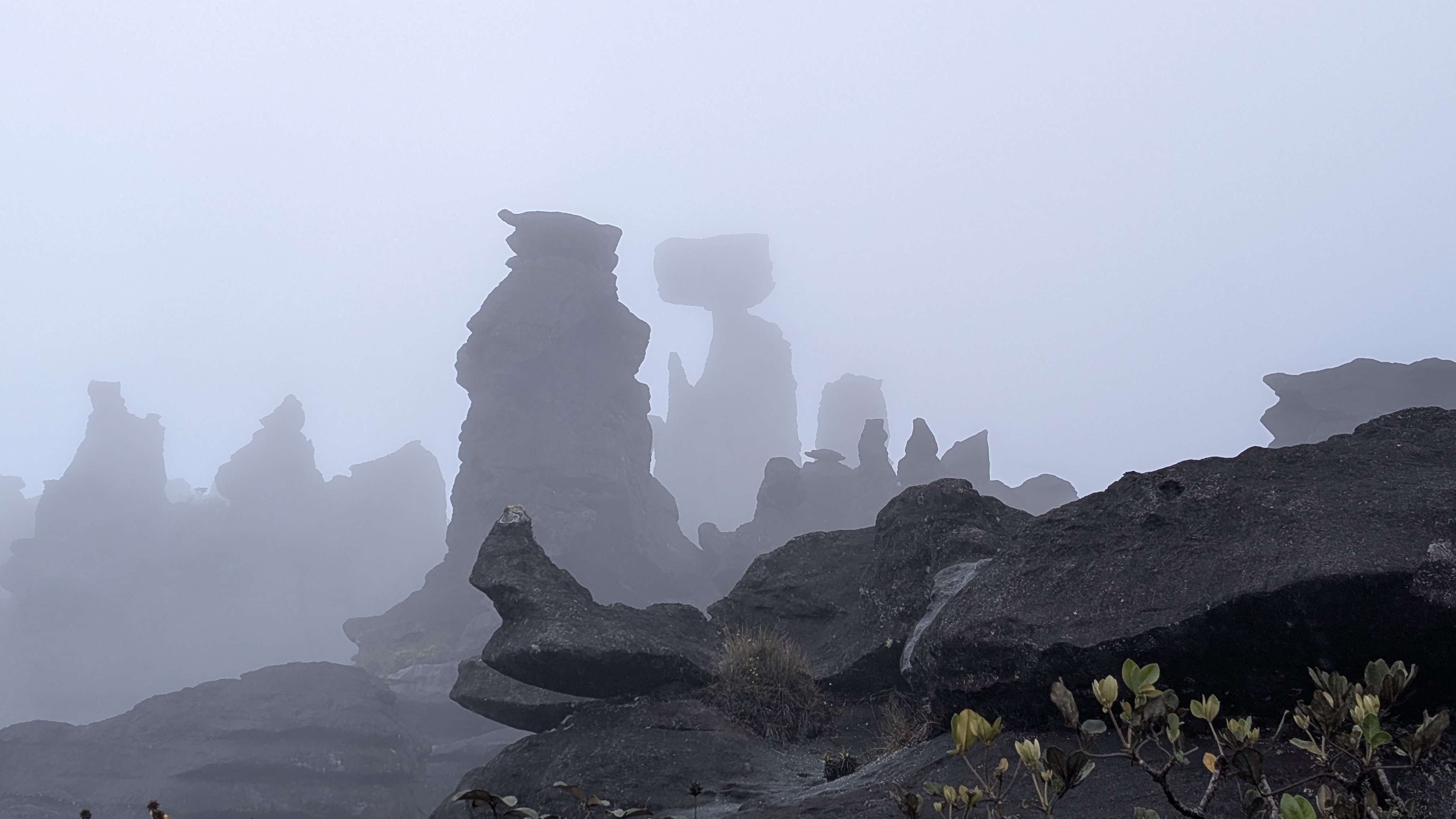
In the mist on Mount Roraima. Photo: Eric Gilbertson
While climbing, Gilbertson dislocated his shoulder in a fall, but was able to pop it back in and continue. After a few technical sections, they finally reached an area with numerous high point candidates, and Gilbertson got to work measuring them. Once he had confirmed the highest point, he took an accurate elevation measurement, determining that Guyana’s highest point is 2,805.8m.
The true summit of Mount Roraima
Interestingly, his measurement also revealed the true summit of Mount Roraima. “This location is 51.6m taller than Maverick Rock [previously believed to be the summit, and completely within Venezuela], meaning it is the tallest point on the entire Mount Roraima tepui,” he explained.
Next up was Venezuela’s highest point, on the other side of the country. Though much higher, Pico Bolivar features a cable car to 4,700m, the highest cable car in the world, and the second longest. With local guides, Gilbertson planned a four-day climb that used the cable car, stopping to camp and acclimate along the way. However, after arriving, he discovered the cable car was closed for repairs. He would have to get up the old-fashioned way: a six-day out-and-back hike.
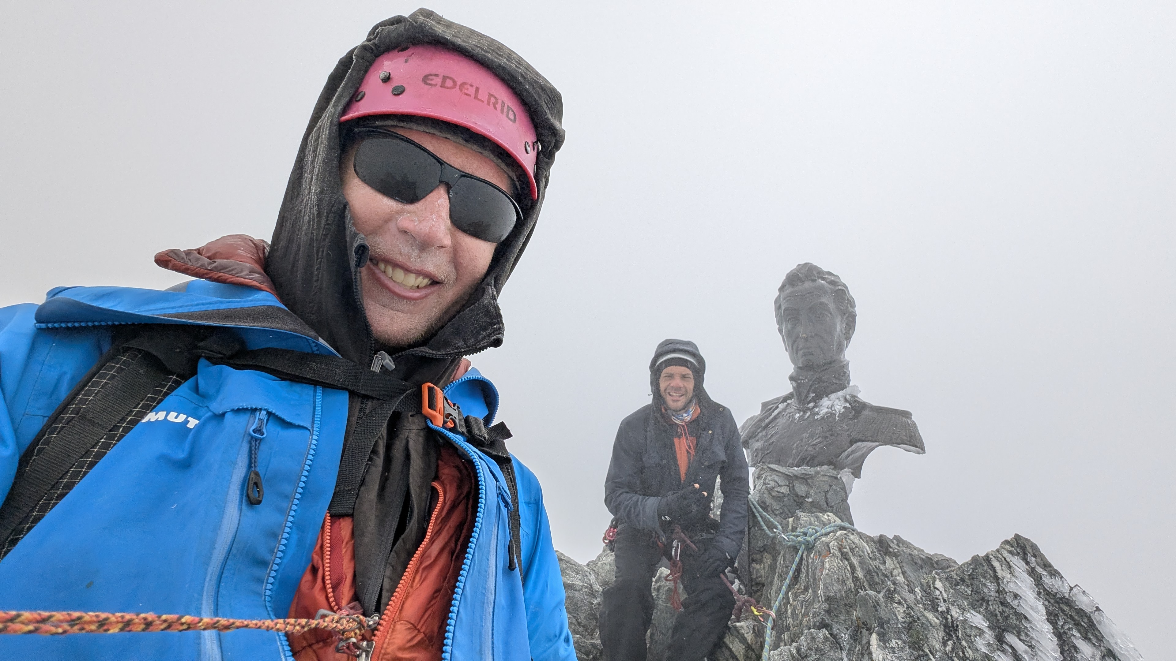
After a few days of hard graft, they made the summit, where Gilbertson continued past the one-meter bust of Simon Bolivar to the true high point, a nondescript rock a few meters behind. With recent measurements taken by the Venezuelan government (clocking Pico Bolivar at 4,980m), there was no need to take new altitude readings.
Last one: Huascaran Sur, Peru
That left just one more high point, Huascaran Sur in Peru. “I saved it for last to hit the ideal weather in late July and to let the other two peaks help me with acclimation,” Gilbertson said.
In 2017, Huascaran was professionally surveyed and measured at 6,756.7m. But the last decade has not been kind to the peak, with climate change opening crevasses on the glacial terrain and potentially shrinking the summit.
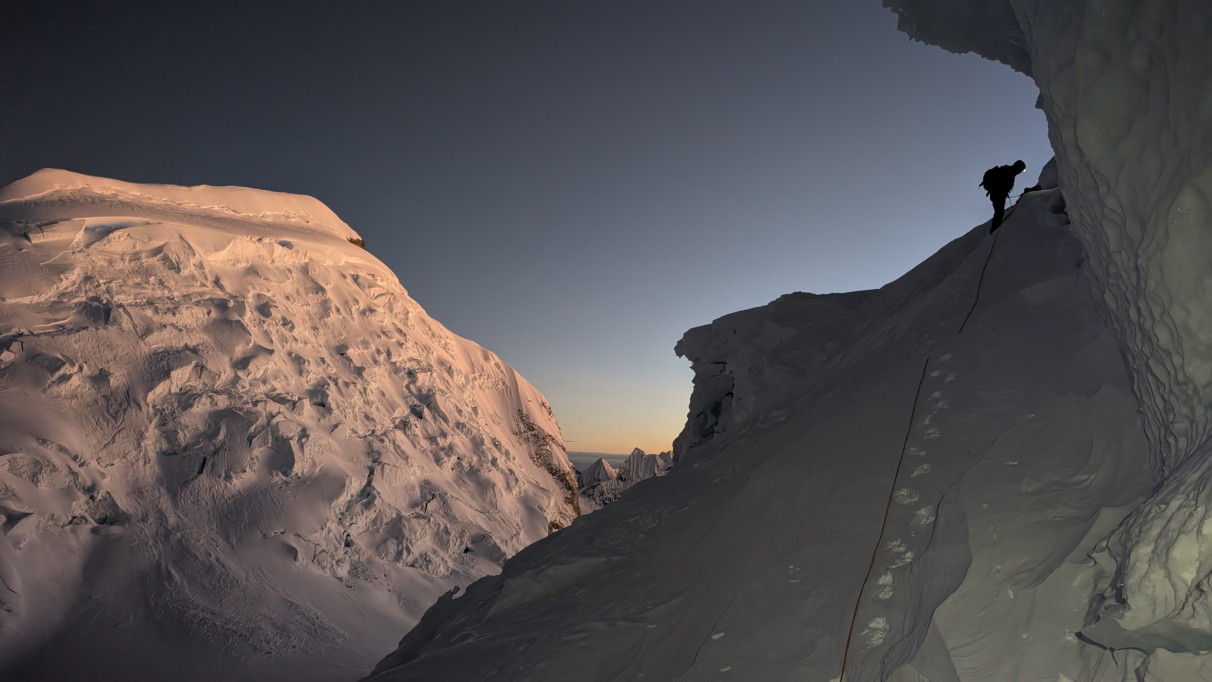
Climbing Huascaran Sur, Peru. Photo: Eric Gilbertson
Just a few days before Gilbertson and some friends were to start their climb, three Peruvian mountaineers disappeared into a crevasse at around 6,400m. The mountain essentially shut down.
“On July 20, the police issued a statement that it was recommended that no climbers enter the area between Camp 1 and Camp 2 for the next 15 days…[and] the association of porters then recommended that no porters go to the mountain since it was too risky. By July 21, the mountain was essentially empty above Camp 1. And the missing climbers had still not been located six days after the accident,” Gilbertson wrote.
An empty mountain
Gilbertson emphasizes that it was only “recommended” that no climbers enter the area, and that the mountain was not officially closed. Choosing to continue with their plans, they contacted the families of the missing climbers.
“On July 21, we discussed with the family that we could go up with a drone to the accident scene and film as much as possible to look for evidence of what happened. If anyone was alive, we would try to rescue them, but chances were slim so long after the accident. We said we would just volunteer and didn’t need any payment. If we could tag the summit on the side, that would be sufficient payment. They agreed that was fine.”
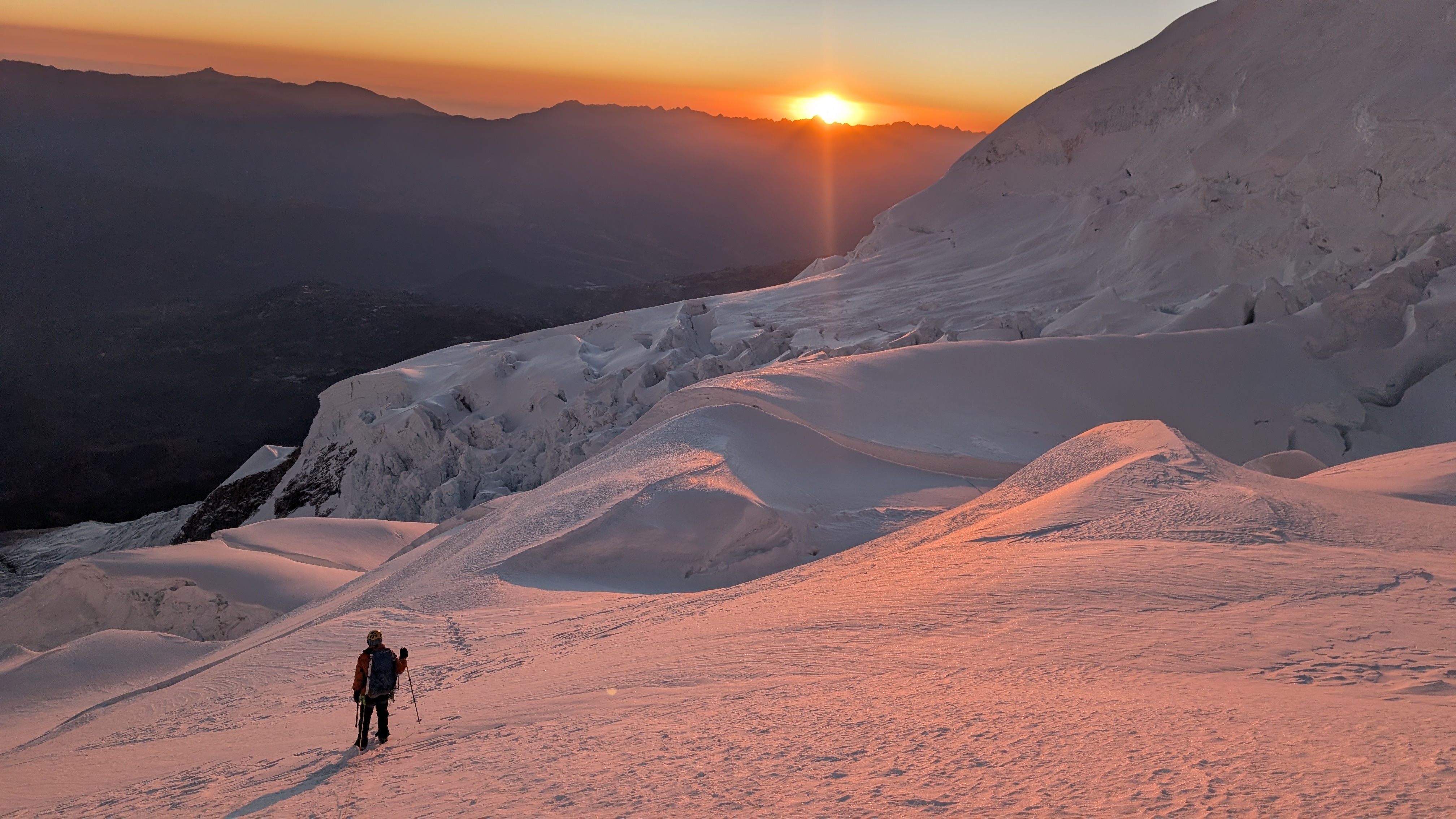
Huascaran Sur, Peru. Photo: Eric Gilbertson
After a sketchy five-day climb, they finally summited on July 27. Gilbertson took measurements at the top, and then they began to descend, checking out the accident location with a drone on the way.
“It appeared the crevasse the team fell into was extremely deep,” Gilbertson explained. “Too deep to even see the bottom from the drone. There wasn’t much more we could do, and it would not be safe to try to rappel into that bottomless crevasse. Nate called the family and gave them an update, and then we started down.”
A shrinking summit
Once Gilbertson had returned to civilization, he processed his data from the summit and made a surprising discovery: Huascaran Sur was only 6,754.9m. This meant that the peak had shrunk 1.8m since 2017. This mirrored changes to the height of Colombia’s highest peaks.
When experts surveyed Colombia’s mountains in 1939, they judged Pico Cristóbal Colón to be the highest point, with Pico Bolívar (featuring the same name as Venezuela’s highest peak) slightly lower than its neighboring summit. When Gilbertson checked the peaks in 2024, he found Pico Cristóbal Colón had melted down over 40m, shifting the highest point to Pico Bolívar and forcing a more technical climb.
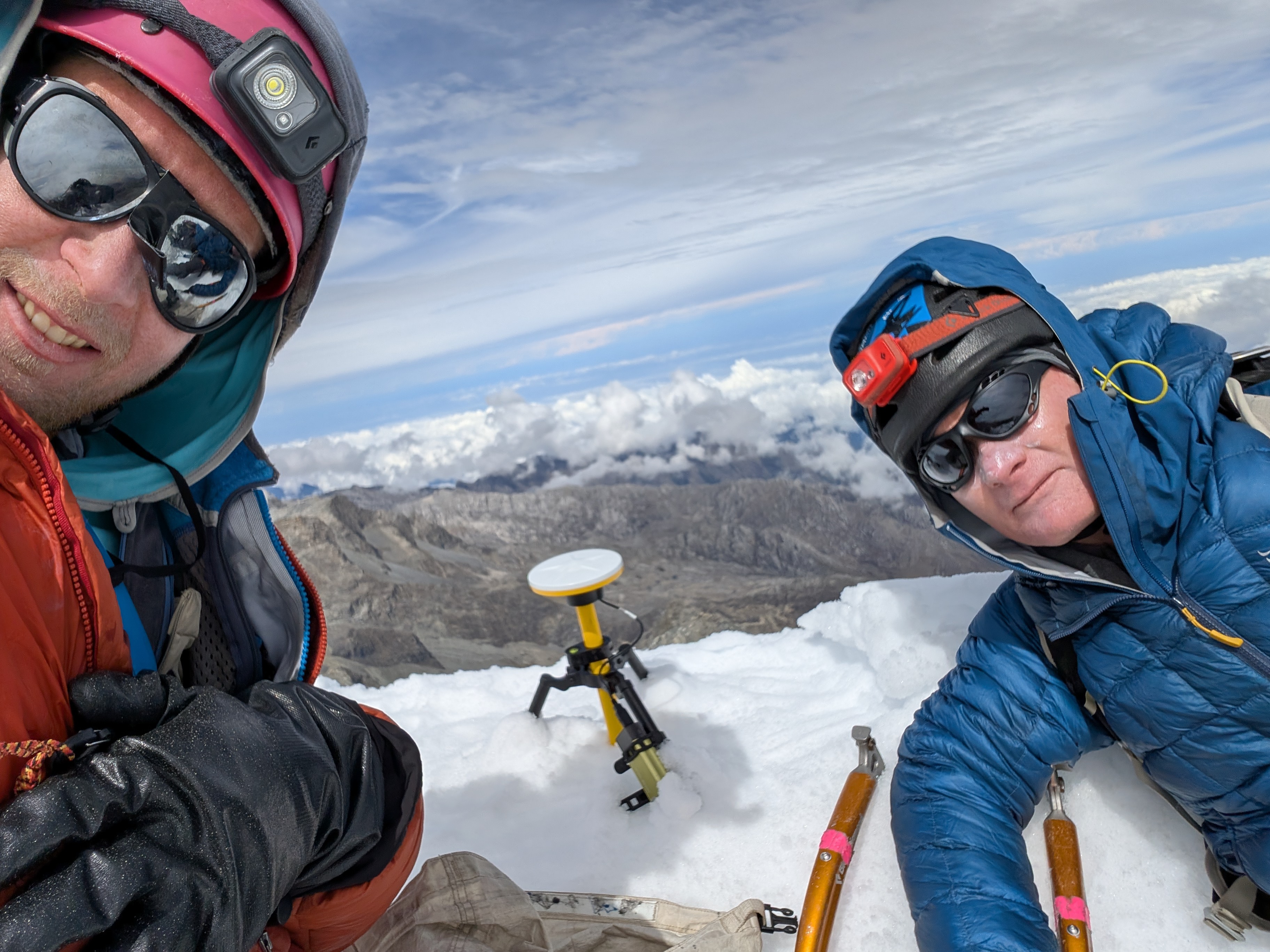
Taking measurements in Colombia. Photo: Eric Gilbertson
With Huascaran Sur, Gilbertson completed all 35 country high points in the Americas. I asked if anyone else had come close to beating him to the finish line.
“I know a couple of people were working on them. A couple of my friends are pretty close, but some peaks have been problematic since I did them. I did Haiti in 2013, and that was tricky when I did it, but now it’s basically impossible. There’s a risk of kidnapping for foreigners. That is kind of typical for country high points; they go back and forth between being open or closed.”