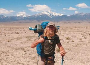
Donovan Rice got into thru-hiking almost by accident. Already outdoorsy, he graduated from long hikes to planning to climb all 53 of Colorado’s 14,000’ers (mountains above 14,000 feet, or 4,267m). While researching which peaks required overnight camping, he realized that some people’s hikes just keep going.
“I thought, there’s no way somebody can walk from Mexico to Canada. That’s just ridiculous,” Rice explained. “I fell in love with that idea.”
From there, it was a slippery slope. First came the Pacific Coast Trail (PCT), from the Mexican border in California to the Canadian border in British Columbia. Then he did the Continental Divide Trail (CDT), tracing the Rocky Mountains from New Mexico to the Montana-Canada border. Before he knew it, he had a trail name — Iceman —and was working the gig economy to free up time for wilderness adventures.
But that’s where most people’s slippery slope levels out. Hiking the 4,988km CDT is as meaty a project as most of us can imagine. But for Rice, it only opened the floodgates. He was fascinated by everything that didn’t make it into famous routes, especially the ridges and mountains he passed in his home state of Colorado that were just off trail.
“There’s all this stuff the CDT doesn’t hit because it is following the Continental Divide,” he told ExplorersWeb. “So when I got to the end of the Colorado section, about 700 miles, I was thinking, man, if there were a 2,000-mile version of that, it would be my dream thru-hike. Just that non-stop, relentless brutality that is Colorado.”
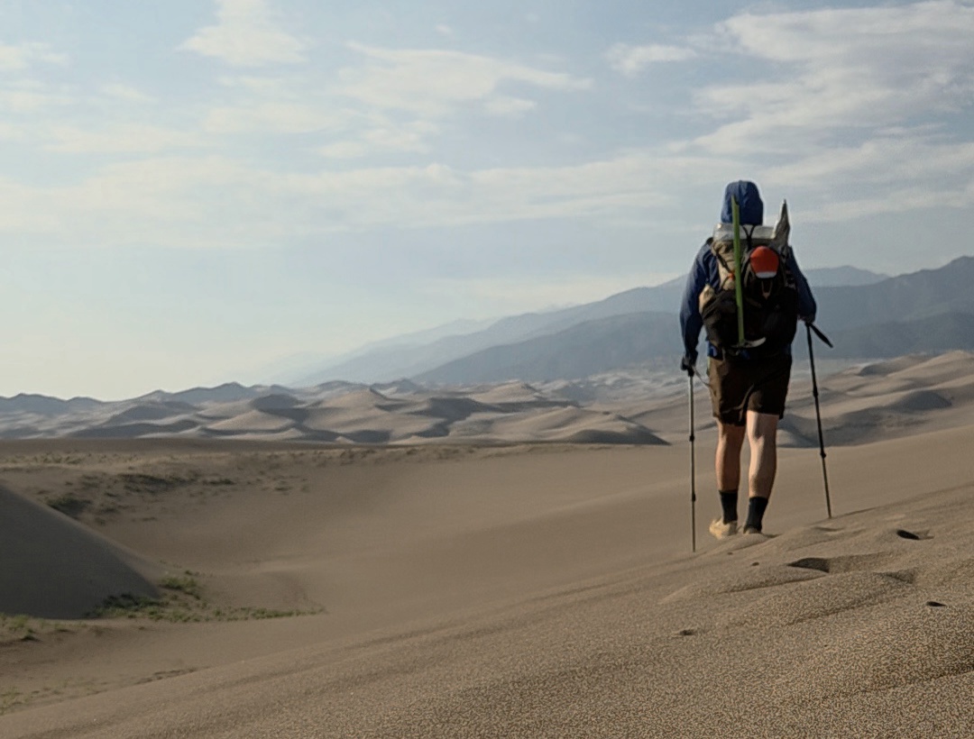
Colorado has 14,000′ peaks but also deserts. Photo: Donovan Rice
A beauty-first trail
Rice started thinking about a massive thru-hike loop of the state. His idea was to stitch together existing trails and form new ones where necessary.
“I dropped a load of pins across the areas in Colorado I wanted to visit, then I pulled out a public lands layer of the map to see how I might connect the areas,” he explained. “The three core design philosophies were beauty, breadth, and epicness. I wanted to see beautiful views, I wanted to cover as much of Colorado’s diversity as possible, and I wanted to take the most iconic and epic route possible.”
Unlike places like the UK, there is no “right to roam” in Colorado, so connecting the route to avoid private land was tricky. Occasionally, he had to link bits of public land and sections of trail in the “least worst way,” with short road walks when private property appeared to halt progress.
As he tacked on mountain peaks and the national parks he wanted to explore, his route swelled to a monstrous 3,000km+. His itinerary now included all 11 of Colorado’s national forests, three of its national parks, 13 14,000’ers and 47 13,000’ers.
“This is not an efficient route,” Rice admits. “You could walk the full perimeter of Colorado and then hike the Colorado Trail [an existing 885km trail from Waterton Canyon near Denver to Durango], and then still have kilometers left over [to complete the loop].”
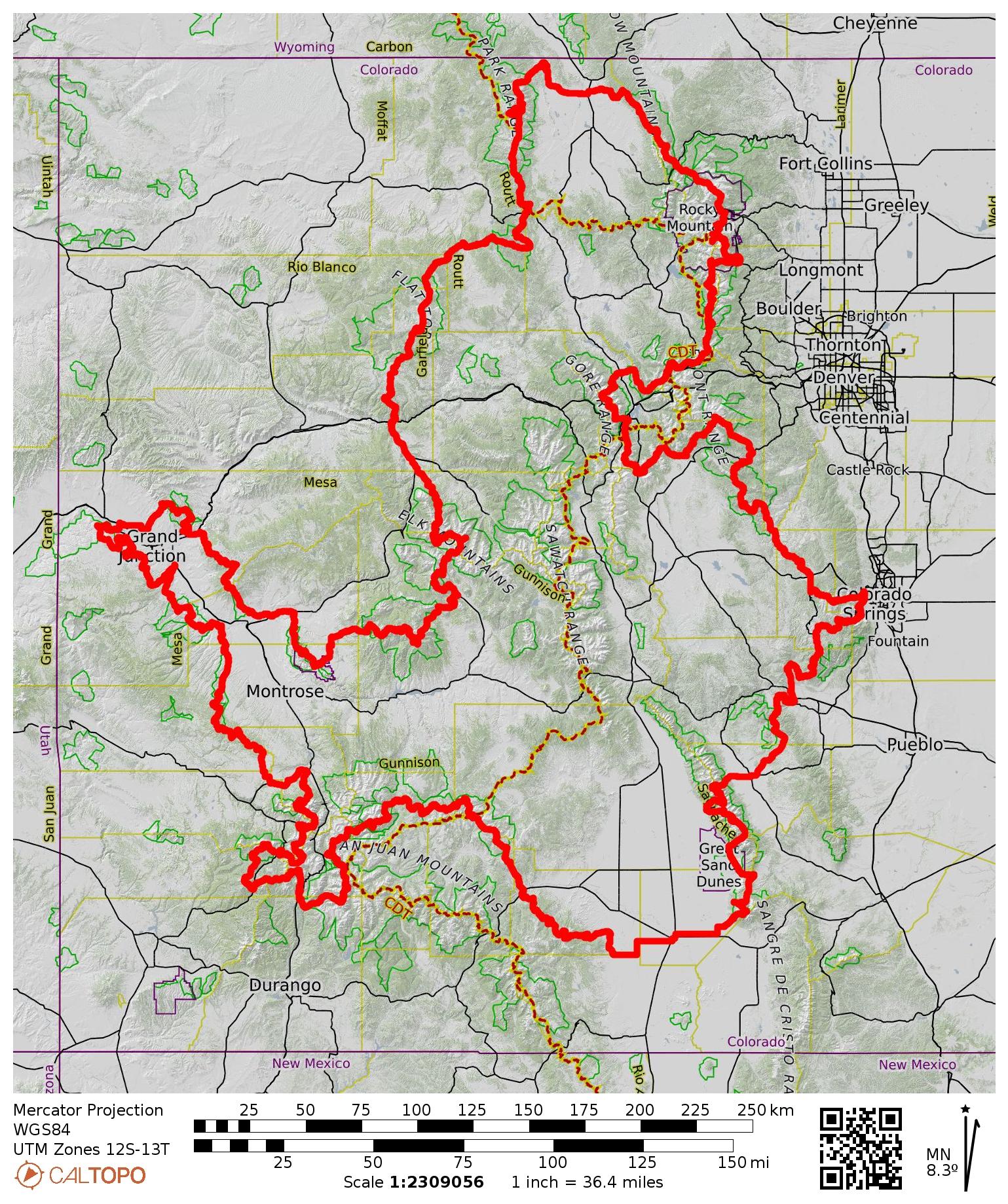
The Great Colorado Route. Photo: Donovan Rice
Testing the Great Colorado Route
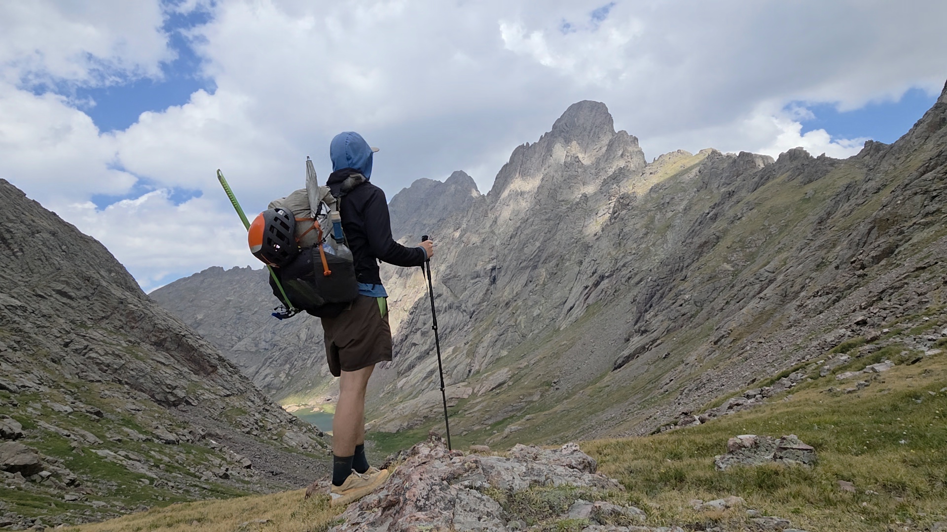
The route looked epic on paper, but Rice still needed to prove it could actually be thru-hiked. After months of planning, Rice set off on his Great Colorado Route from Gunnison National Park on May 14, 2026. He traveled ultra-light, carrying just six kilos of gear, with just a quilt instead of a sleeping bag and a tarp rather than a tent.
“I wanted it to be lightweight enough that I could be nimble on the mountains while doing these technical traverses,” said Rice. Traveling light was wise. Rice’s Great Colorado Route is challenging, with plenty of scrambling and sustained time at altitude.
“The crux might be between Bailey and Rocky Mountain National Park. You go over the Mount Evans Wilderness, two 14,000’ers, hop on the Front Range across several 13,000’ers, and then across the Tenmile Range, and then the absolutely brutal Gore Range.”
Rice spent 141 days tramping his trail, eventually finishing on October 1 after 3,252km. While he describes the route as “definitely not beginner-friendly” — due to plenty of cross-country terrain, off-trail navigation, and route-finding — it doesn’t require mountaineering skills.
“For me, the real sweet spot is Class three scrambling,” he says. “Once you get up to Class four, it starts getting really scary, and I had no tolerance at all for true Class five rock climbing.”
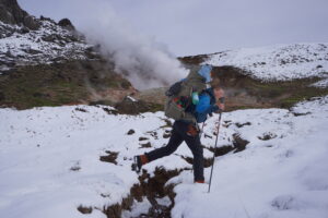
However, he did pack an ice ax, micro-spikes, snow gaiters, and a lightweight helmet to protect against rockfall. He also made an effort to structure the route to provide relief between the most challenging sections, giving the trail an ebb and flow, and potential hikers time to decompress.
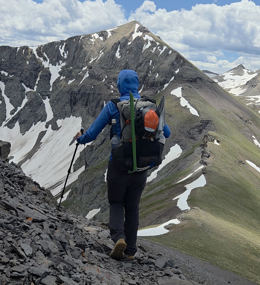
The Ballard to La Junta traverse. Photo: Donovan Rice
Try a segment
Overall, his focus on scenic beauty over contrived difficulty helped keep the route somewhat accessible. This is important because Rice hopes that other hikers will give it a go. He is building a website that maps the route, segment by segment, with GPS coordinates to help future hikers find the best places to camp or alternative paths depending on trail conditions. This is a May-through-October trail, but Rice stresses that it is unrealistic to expect perfect conditions for four and a half months.
“This is one of those routes where bailouts will have to happen,” Rice explained. “You’ll have to take a low route or an alternate. I’m hoping to revisit some of the areas in the future and establish some of these alternative routes.”
He aims to get all 29 segments of the initial route fully mapped on The Great Colorado website by the end of the year. It’s a big project, almost as big as the hike itself.
“I need to see how many people will actually give it a try. People can do segments. I’d love to see more thru-hikers do this, but the big challenge is that I think the majority of thru-hikers will look at this and think ‘that’s above my pay grade’.”
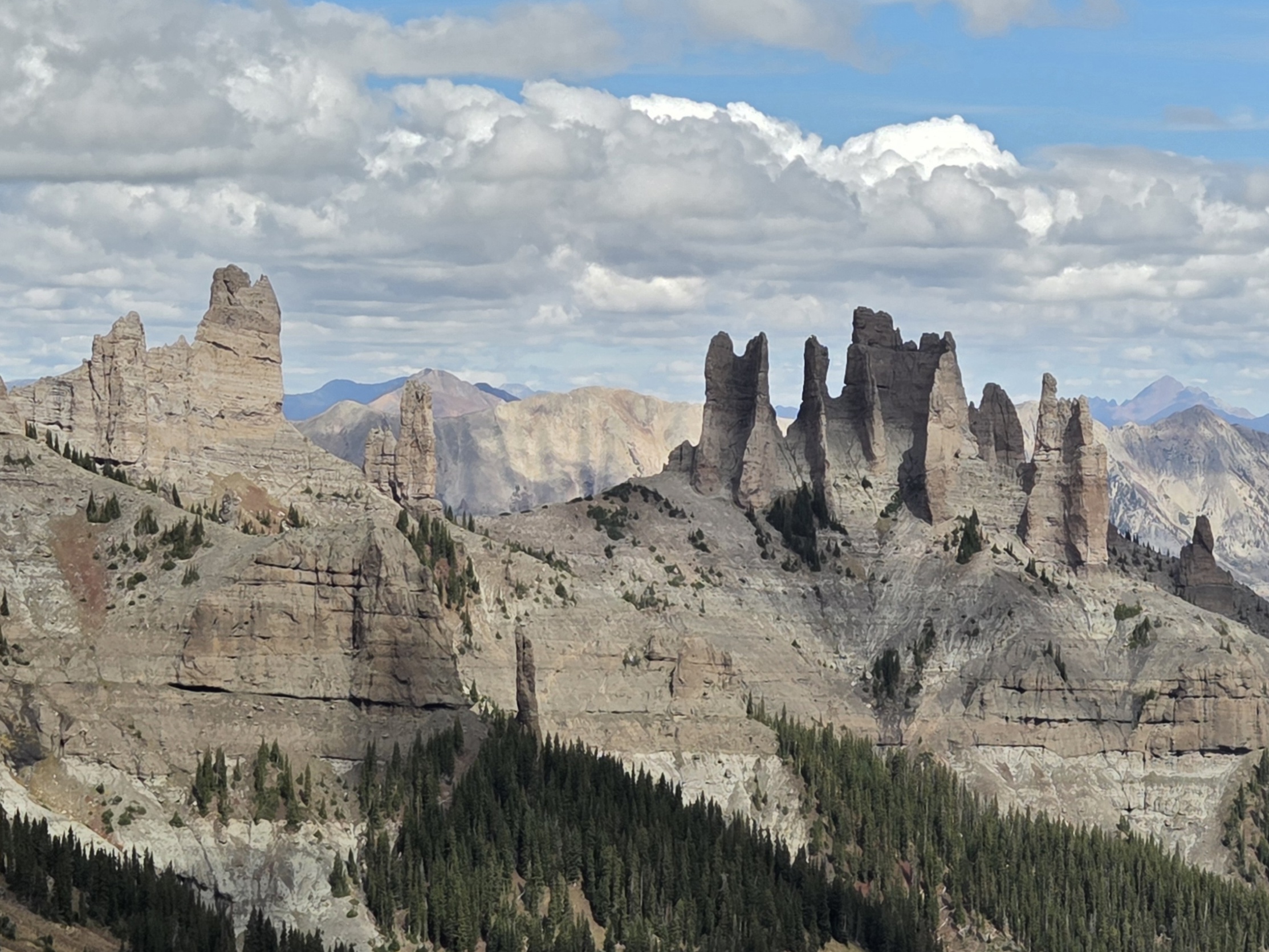
The Castles, Colorado. Photo: Donovan Rice
Next steps
Once he finishes the website, the level of interest might dictate his next steps. “I don’t know what level of formal recognition I want to try for. Do I want to try to get it codified? Or should it stay unofficial and remain just some cool thing someone did that published information on how to do it yourself.”
Whether or not his Great Colorado Route ever gains the name recognition of the CDT or PCT, Rice has authored something unique, and in a world full of rehashes and copycats, that makes it special.
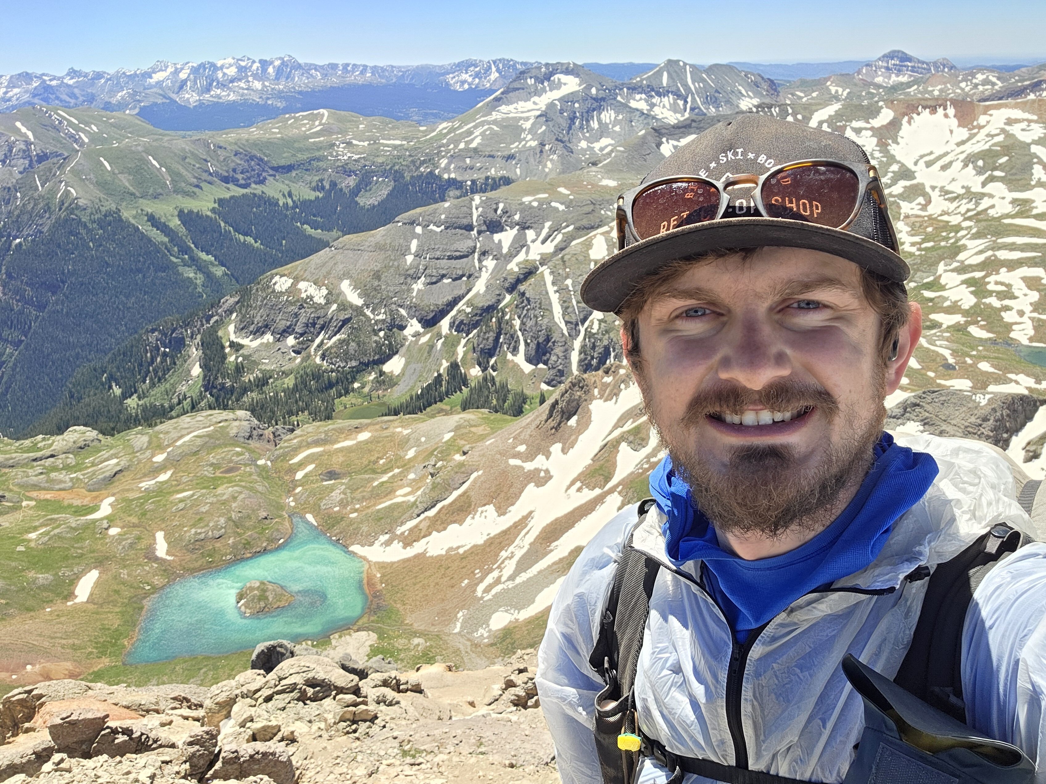
Rice looking down on Island Lake from Ulysses S. Grant Peak. Photo: Donovan Rice